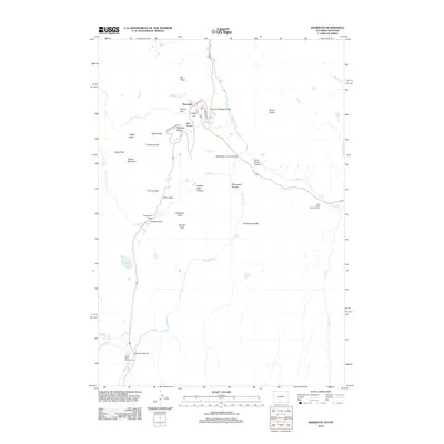
2012 Map of Mammoth
USGS Topo · Published 2012About this map
Mammoth serves as the focal point of this northwestern Wyoming landscape, where thermal activity and complex geology define the terrain. The map traces a remarkable series of travertine formations, including Main Terrace, Highland Terrace, and Opal Terrace, situated near the landmark Liberty Cap. This area is shaped by the descent of the Gardner River and its tributaries, which have carved dramatic features like Sheepeater Canyon and created vertical spectacles at Undine Falls and Osprey Falls.
Find a feature on this map
43 named features on this map. Tap any name to fly to it.
Don’t see what you’re looking for? This feature index may not catch every label — zoom into the map to look around manually.
Map Details
Editions of this 2012 Mammoth Map
This is the sole edition of this map. No revisions or reprints were ever made.
Other maps of this area

1885 · Gallatin
USGS Topo · 1:125,000

1885 · Gallatin
USGS Topo · 1:125,000

1891 · Livingston
USGS Topo · 1:250,000

1893 · Livingston
USGS Topo · 1:250,000

1901 · Gallatin
USGS Topo · 1:125,000

1908 · Gallatin
USGS Topo · 1:125,000

1911 · Gallatin
USGS Topo · 1:125,000

1947 · Bozeman
USGS Topo · 1:250,000

1948 · Bozeman
USGS Topo · 1:250,000

1955 · Bozeman
USGS Topo · 1:250,000