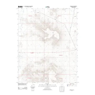
2013 Map of Manassa NE
USGS Topo · Published 2013About this map
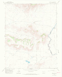
Lasauses Cem serves as a silent focal point in the northeast corner of this high-desert landscape, reflecting the long-standing agricultural heritage of Conejos County. The area is defined by a sophisticated network of irrigation systems, including the Lasauses Ditch, Eightmile Ditch, and E Bend Ditch, which draw from the Conejos River and Rio San Antonio. These waterways contrast sharply with the surrounding arid topography, providing the lifeblood for the local ranching economy.
Find a feature on this map
25 named features on this map. Tap any name to fly to it.
Don’t see what you’re looking for? This feature index may not catch every label — zoom into the map to look around manually.
Map Details
Editions of this 2013 Manassa NE Map
This is the sole edition of this map. No revisions or reprints were ever made.
Other maps of this area

1954 · Trinidad
USGS Topo · 1:250,000

1955 · Trinidad
USGS Topo · 1:250,000

1958 · Trinidad
USGS Topo · 1:250,000

1959 · Trinidad
USGS Topo · 1:250,000

1965 · Lasauses
USGS Topo · 1:24,000

1967 · Manassa NE
USGS Topo · 1:24,000
1967 · Manassa
USGS Topo · 1:24,000
1967 · Lobatos
USGS Topo · 1:24,000
1967 · Sky Valley Ranch
USGS Topo · 1:24,000
1967 · Kiowa Hill
USGS Topo · 1:24,000