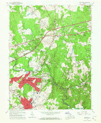
1966 Map of Manassas
USGS Topo · Published 1967About this map
Bull Run defines the western edge of this mid-1960s landscape, serving as the border between Fairfax and Prince William counties. The map captures a moment of suburban expansion as residential developments like West Gate of Lomond and Yorkshire Park begin to fill the spaces between established settlements. To the south, Manassas and Manassas Park show dense urban grids, while the eastern portion around Clifton remains more rural, with the Southern Railway winding through the terrain towards the Occoquan Reservoir. Institutional landmarks are prominent, including the Emily Spiller Marsteller Sch and the State Prison Camp No 30. The transition from agrarian land to suburban tracts is evident in the naming of modern estates alongside historic parish sites like St Johns Ch and The Church of the Blessed Trinity.
Find a feature on this map
81 named features on this map. Tap any name to fly to it.
Don’t see what you’re looking for? This feature index may not catch every label — zoom into the map to look around manually.
Map Details
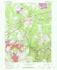
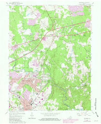
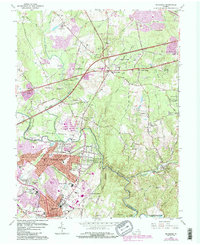
Editions of this 1966 Manassas Map
4 editions found
Other maps of this area

1890 · Mt. Vernon
USGS Topo · 1:125,000

1891 · Mt. Vernon
USGS Topo · 1:125,000

1894 · Warrenton
USGS Topo · 1:125,000

1894 · Mt. Vernon
USGS Topo · 1:125,000

1897 · Mt. Vernon
USGS Topo · 1:125,000

1915 · Fairfax
USGS Topo · 1:62,500

1927 · Quantico
USGS Topo · 1:62,500

1933 · Middleburg
USGS Topo · 1:62,500

1940 · Quantico
USGS Topo · 1:62,500

1943 · Quantico
USGS Topo · 1:62,500