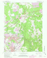
1966 Map of Manassas
USGS Topo · Published 1979About this map
Bull Run defines the jurisdictional boundary between Prince William and Fairfax counties, serving as a natural anchor for this suburbanizing Virginia landscape. The late-1970s revisions, highlighted in purple, showcase the rapid expansion of residential communities like Greenbriar and Yorkshire Park alongside established infrastructure such as the Southern Railway. This era marks a transition where old farm estates like Cloverleaf Farm Estates and Willow Springs began to sit adjacent to modern developments and regional parks.
Find a feature on this map
89 named features on this map. Tap any name to fly to it.
Don’t see what you’re looking for? This feature index may not catch every label — zoom into the map to look around manually.
Map Details
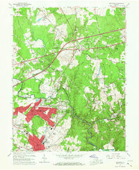
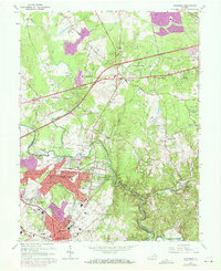
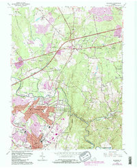
Editions of this 1966 Manassas Map
4 editions found
Other maps of this area

1890 · Mt. Vernon
USGS Topo · 1:125,000

1891 · Mt. Vernon
USGS Topo · 1:125,000

1894 · Warrenton
USGS Topo · 1:125,000

1894 · Mt. Vernon
USGS Topo · 1:125,000

1897 · Mt. Vernon
USGS Topo · 1:125,000

1915 · Fairfax
USGS Topo · 1:62,500

1927 · Quantico
USGS Topo · 1:62,500

1933 · Middleburg
USGS Topo · 1:62,500

1940 · Quantico
USGS Topo · 1:62,500

1943 · Quantico
USGS Topo · 1:62,500