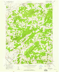
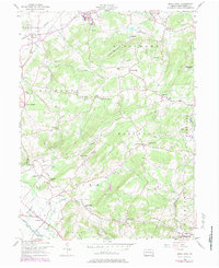
1957 Map of Manatawny
USGS Topo · Published 1958About this map
Topton Mountain dominates the central landscape of this 1950s survey, surrounded by the small farming communities and townships of Berks County. The map documents a dense network of early rural infrastructure, including numerous family-named landmarks and local institutions like Hill Church and Landis Store. Along the southern reaches, Manatawny Creek flows through a valley marked by a Covered Br and the Fish Hatchery, reflecting the area's transition from early industrial milling to twentieth-century recreation and conservation. Local history is deeply embedded in the terrain, from the site of Mountain Marys Grave to the namesake crossroads at New Jerusalem. The presence of the Reading railroad near Bowers and Topton indicates the corridor's persistent role in transport, while numerous small schoolhouses like Drumheller Sch and Roebuck Sch represent a vanishing pattern of local education before consolidation.
Find a feature on this map
72 named features on this map. Tap any name to fly to it.
Don’t see what you’re looking for? This feature index may not catch every label — zoom into the map to look around manually.
Map Details
Editions of this 1957 Manatawny Map
5 editions found
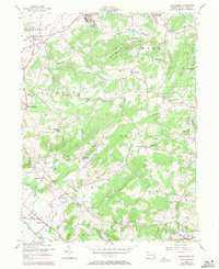
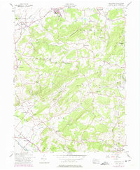
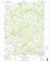
Other maps of this area

1894 · Reading
USGS Topo · 1:62,500

1902 · Boyertown
USGS Topo · 1:62,500

1902 · Slatington
USGS Topo · 1:62,500

1909 · Hamburg
USGS Topo · 1:62,500

1911 · Hamburg
USGS Topo · 1:62,500

1913 · Reading
USGS Topo · 1:62,500

1915 · Reading
USGS Topo · 1:62,500

1937 · Allentown West
USGS Topo · 1:48,000

1942 · Allentown West
USGS Topo · 1:62,500

1943 · Manatawny
USGS Topo · 1:31,680