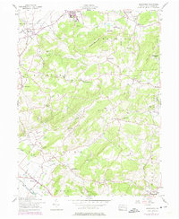
1957 Map of Manatawny
USGS Topo · Published 1974About this map
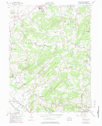
Mountain Marys Grave sits at the center of this rural Pennsylvania landscape, a site of local folklore within the southern portion of the quadrangle. The terrain is defined by the sharp rise of Topton Mountain and Gap Hill, which divide the valley settlements of Topton and Bowers from the more dispersed upland communities. This mid-century survey shows a highly localized social infrastructure, with one-room schools such as Bush Sch and Rupperts Sch and rural gathering points like Landis Store and Hill Church anchoring their respective townships. A network of smaller waterways including Sacony Creek and Manatawny Creek drain the hills, while later industrial developments appear in purple revisions, including a Microwave Tower and a Landing Strip near the District boundary.
Find a feature on this map
72 named features on this map. Tap any name to fly to it.
Don’t see what you’re looking for? This feature index may not catch every label — zoom into the map to look around manually.
Map Details
Editions of this 1957 Manatawny Map
5 editions found
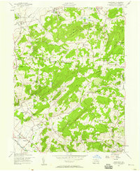
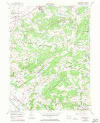
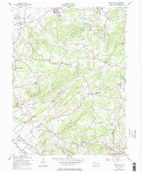
Other maps of this area

1894 · Reading
USGS Topo · 1:62,500

1902 · Boyertown
USGS Topo · 1:62,500

1902 · Slatington
USGS Topo · 1:62,500

1909 · Hamburg
USGS Topo · 1:62,500

1911 · Hamburg
USGS Topo · 1:62,500

1913 · Reading
USGS Topo · 1:62,500

1915 · Reading
USGS Topo · 1:62,500

1937 · Allentown West
USGS Topo · 1:48,000

1942 · Allentown West
USGS Topo · 1:62,500

1943 · Manatawny
USGS Topo · 1:31,680