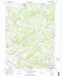
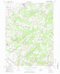
1957 Map of Manatawny
USGS Topo · Published 1984About this map
Topton Mountain anchors this Berks County landscape, which transitions from the industrial corridor of the Reading railroad in the north to a densely networked agricultural backcountry. This 1957 revision reveals a rural society built around small-scale crossroads and educational institutions, featuring an exceptional concentration of local schools such as Landis Well Sch, Bush Sch, and Herzog Sch. One of the most distinctive cultural markers is Mountain Marys Grave south of Fredericksville, a site of local folklore within the forested hills.
Find a feature on this map
66 named features on this map. Tap any name to fly to it.
Don’t see what you’re looking for? This feature index may not catch every label — zoom into the map to look around manually.
Map Details
Editions of this 1957 Manatawny Map
5 editions found
Other maps of this area

1894 · Reading
USGS Topo · 1:62,500

1902 · Boyertown
USGS Topo · 1:62,500

1902 · Slatington
USGS Topo · 1:62,500

1909 · Hamburg
USGS Topo · 1:62,500

1911 · Hamburg
USGS Topo · 1:62,500

1913 · Reading
USGS Topo · 1:62,500

1915 · Reading
USGS Topo · 1:62,500

1937 · Allentown West
USGS Topo · 1:48,000

1942 · Allentown West
USGS Topo · 1:62,500

1943 · Manatawny
USGS Topo · 1:31,680