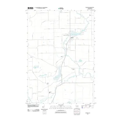
2010 Map of Manawa
USGS Topo · Published 2010About this map
The Little Wolf River and its South Branch serve as the central geographic features of this Waupaca County landscape, which is anchored by the community of Manawa. The town's industrial history is anchored by the Manawa 1899C177 Dam on Manawa Pond 275. Settlement patterns across the quadrangle are revealed through numerous small burial sites, including the Waupaca County Poor Farm Cemetery, which offers a poignant look at local social history.
Find a feature on this map
51 named features on this map. Tap any name to fly to it.
Don’t see what you’re looking for? This feature index may not catch every label — zoom into the map to look around manually.
Map Details
Editions of this 2010 Manawa Map
This is the sole edition of this map. No revisions or reprints were ever made.
Other maps of this area

1955 · Clintonville
USGS Topo · 1:48,000

1955 · Tigerton
USGS Topo · 1:48,000

1955 · Green Bay
USGS Topo · 1:250,000

1956 · Weyauwega
USGS Topo · 1:48,000

1957 · Waupaca
USGS Topo · 1:48,000

1969 · Readfield
USGS Topo · 1:24,000

1969 · Northport
USGS Topo · 1:24,000
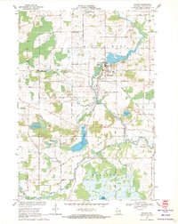
1969 · Manawa
USGS Topo · 1:24,000
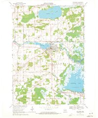
1969 · Weyauwega
USGS Topo · 1:24,000
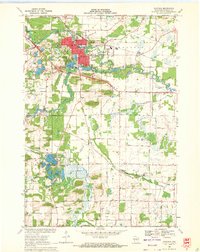
1969 · Waupaca
USGS Topo · 1:24,000