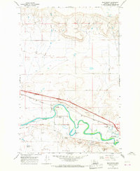
1965 Map of Manchester
USGS Topo · Published 1966About this map
Sun River meanders across this mid-1960s landscape, defining the topography between the prominent Sun Bench and the northern plains. The settlement of Manchester is positioned near a sharp bend in the river, adjacent to the Great Northern railroad line that cuts through the center of the sheet. The area shows a transition from agricultural land to specialized local infrastructure, including the Radio Towers (KFBB) and the Pistol Range located further downstream.
Find a feature on this map
17 named features on this map. Tap any name to fly to it.
Don’t see what you’re looking for? This feature index may not catch every label — zoom into the map to look around manually.
Map Details
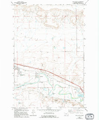
Editions of this 1965 Manchester Map
2 editions found
Other maps of this area

1886 · Great Falls
USGS Topo · 1:250,000

1949 · Cascade
USGS Topo · 1:62,500

1949 · Great Falls
USGS Topo · 1:62,500

1949 · Vaughn
USGS Topo · 1:62,500

1951 · Great Falls
USGS Topo · 1:62,500

1951 · Cascade
USGS Topo · 1:62,500

1952 · Vaughn
USGS Topo · 1:62,500

1954 · Great Falls
USGS Topo · 1:250,000

1955 · Gore Hill
USGS Topo · 1:62,500

1957 · Great Falls
USGS Topo · 1:250,000