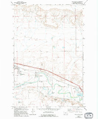
1965 Map of Manchester
USGS Topo · Published 1994About this map
Manchester occupies a significant bend in the river valley, where the hydrology of the Sun River shapes the local landscape. The topography transitions sharply from the level plains of the Sun River Bench down into a complex riparian corridor marked by numerous springs, including Newman Spring, and old oxbow features like Horseshoe Lake. The infrastructure of the mid-20th century is well-documented here, showing a mix of utility and community spaces ranging from the Sewage Disposal Ponds to the Sunset Memorial Gardens cemetery.
Find a feature on this map
18 named features on this map. Tap any name to fly to it.
Don’t see what you’re looking for? This feature index may not catch every label — zoom into the map to look around manually.
Map Details
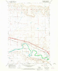
Editions of this 1965 Manchester Map
2 editions found
Other maps of this area

1886 · Great Falls
USGS Topo · 1:250,000

1949 · Cascade
USGS Topo · 1:62,500

1949 · Great Falls
USGS Topo · 1:62,500

1949 · Vaughn
USGS Topo · 1:62,500

1951 · Great Falls
USGS Topo · 1:62,500

1951 · Cascade
USGS Topo · 1:62,500

1952 · Vaughn
USGS Topo · 1:62,500

1954 · Great Falls
USGS Topo · 1:250,000

1955 · Gore Hill
USGS Topo · 1:62,500

1957 · Great Falls
USGS Topo · 1:250,000