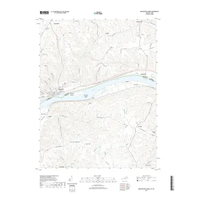
2019 Map of Manchester Islands
USGS Topo · Published 2019About this map
Manchester sits prominently on the northern bank of the Ohio River, serving as a focal point for this borderland where Adams Co, Ohio meets Lewis Co, Kentucky. The river geography is defined by the significant landmasses of Manchester Island Number 1 and Manchester Island Number 2, which split the channel near the town front. Genealogy and local history are well-preserved through numerous burial grounds, including the Manchester-Founders Cem and Odd Fellows Cem.
Find a feature on this map
84 named features on this map. Tap any name to fly to it.
Don’t see what you’re looking for? This feature index may not catch every label — zoom into the map to look around manually.
Map Details
Editions of this 2019 Manchester Islands Map
This is the sole edition of this map. No revisions or reprints were ever made.
Other maps of this area

1916 · Peebles
USGS Topo · 1:62,500

1918 · Peebles
USGS Topo · 1:62,500

1918 · Seaman
USGS Topo · 1:62,500

1919 · Vanceburg
USGS Topo · 1:62,500

1929 · Springdale
USGS Topo · 1:48,000

1935 · Springdale
USGS Topo · 1:62,500

1949 · Vanceburg
USGS Topo · 1:62,500

1949 · Concord
USGS Topo · 1:24,000

1949 · Charters
USGS Topo · 1:24,000

1950 · Charters
USGS Topo · 1:24,000