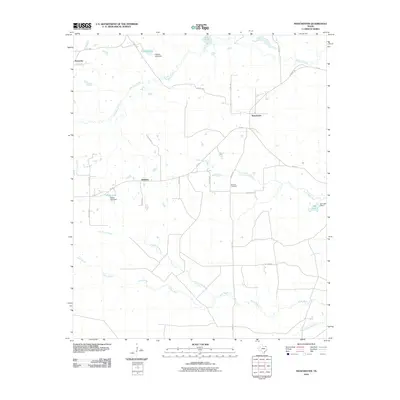
2010 Map of Manchester
USGS Topo · Published 2010About this map
The rural landscape of Red River County is defined by a dense network of winding bayous and creeks, centered around the settlement of Manchester. In this corner of Northeast Texas, the geography is dictated by the passage of Big Pine Creek and the meandering Pecan Bayou, which create a complex drainage pattern across the terrain. Small communities such as Kanawha and Addielou are linked by a grid of county roads and Farm Rd 195, serving as local hubs for the surrounding farm and ranch land. Genealogical interests are grounded at the Calhoun Cemetery, while the local hydrology is punctuated by several small reservoirs, including Cowper Lake and Tallant Lake, each held by namesake dams. The presence of Dinwiddie Bayou and Lick Creek further illustrates the low-lying, water-rich character of the region, where the natural flow of water has long influenced settlement patterns and agriculture.
Find a feature on this map
35 named features on this map. Tap any name to fly to it.
Don’t see what you’re looking for? This feature index may not catch every label — zoom into the map to look around manually.
Map Details
Editions of this 2010 Manchester Map
This is the sole edition of this map. No revisions or reprints were ever made.
Other maps of this area

1951 · Frogville
USGS Topo · 1:24,000

1951 · Millerton
USGS Topo · 1:24,000

1951 · Negley
USGS Topo · 1:24,000

1951 · Kiomatia
USGS Topo · 1:24,000

1951 · Woodland
USGS Topo · 1:24,000

1951 · Manchester
USGS Topo · 1:24,000

1953 · Texarkana
USGS Topo · 1:250,000

1956 · Texarkana
USGS Topo · 1:250,000

1964 · Detroit
USGS Topo · 1:24,000

1964 · Bagwell
USGS Topo · 1:24,000