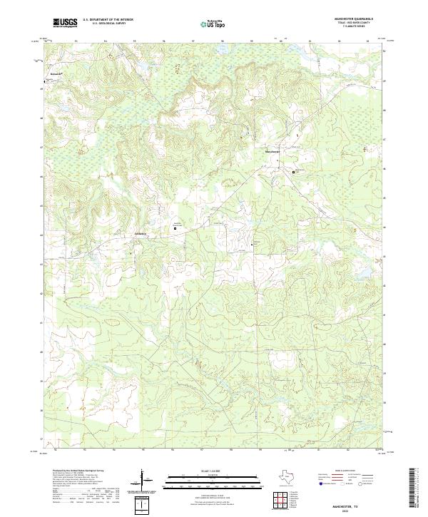
2022 Map of Manchester
USGS Topo · Published 2022About this map
The lowlands of Red River County are defined by the intricate winding of Pecan Bayou and its numerous tributaries. This northeast Texas landscape is sparsely populated, with small communities like Manchester, Addielou, and Kanawha connected by a network of farm-to-market and county roads. The terrain is largely agricultural and wooded, marked by significant wetland features such as Flag Pond and Cowper Lake in the north.
Find a feature on this map
43 named features on this map. Tap any name to fly to it.
Don’t see what you’re looking for? This feature index may not catch every label — zoom into the map to look around manually.
Map Details
Editions of this 2022 Manchester Map
This is the sole edition of this map. No revisions or reprints were ever made.
Other maps of this area

1951 · Frogville
USGS Topo · 1:24,000

1951 · Millerton
USGS Topo · 1:24,000

1951 · Negley
USGS Topo · 1:24,000

1951 · Kiomatia
USGS Topo · 1:24,000

1951 · Woodland
USGS Topo · 1:24,000

1951 · Manchester
USGS Topo · 1:24,000

1953 · Texarkana
USGS Topo · 1:250,000

1956 · Texarkana
USGS Topo · 1:250,000

1964 · Detroit
USGS Topo · 1:24,000

1964 · Bagwell
USGS Topo · 1:24,000