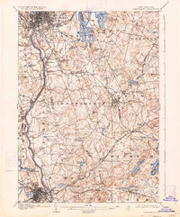
1905 Map of Manchester
USGS Topo · Published 1934About this map
Manchester and Nashua anchor the northern and southern reaches of this Merrimack River valley survey, documenting the region's industrial and recreational landscape at the start of the twentieth century. The Merrimack River serves as the primary corridor, flanked by established rail lines like the B. and M. R. R. and the Nashua and Lawrence Electric R. R.. To the east, the extensive waters of Lake Massabesic dominate the terrain near Auburn, while the legendary Londonderry Lithia Spring appears as a notable local landmark. Smaller settlements and rail stops, including Windham Depot, Goffs Falls, and Reeds Ferry, show the density of nineteenth-century village life. From the urban grid of Manchester near Rock Rimmon to the rural hills of Londonderry and Windham, the map records a transition between textile-driven cities and the surrounding agricultural and summer resort landscape.
Find a feature on this map
91 named features on this map. Tap any name to fly to it.
Don’t see what you’re looking for? This feature index may not catch every label — zoom into the map to look around manually.
Map Details
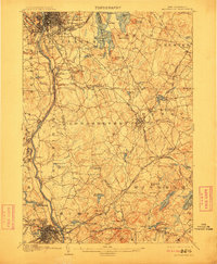
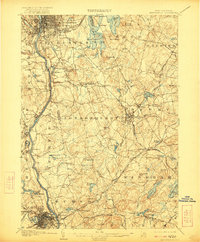
Editions of this 1905 Manchester Map
4 editions found
Other maps of this area

1886 · Lawrence
USGS Topo · 1:62,500

1886 · Lowell
USGS Topo · 1:62,500

1888 · Haverhill
USGS Topo · 1:62,500

1888 · Lawrence
USGS Topo · 1:62,500

1890 · Haverhill
USGS Topo · 1:62,500

1893 · Lowell
USGS Topo · 1:62,500

1893 · Lawrence
USGS Topo · 1:62,500

1893 · Haverhill
USGS Topo · 1:62,500

1893 · Groton
USGS Topo · 1:62,500

1905 · Manchester
USGS Topo · 1:62,500