
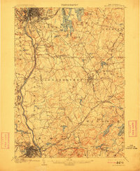
1905 Map of Manchester
USGS Topo · Published 1905About this map
Manchester and Nashua anchor this 1903 survey, revealing a landscape defined by the Merrimac River and a dense network of early 20th-century transportation. The city of Manchester is shown in significant detail, with its grid expanding toward the Pine Grove Cemetery and Pine Island Park. To the east, the sprawling Massabesic Lake is a focal point, featuring named landmarks like Deer Neck and Mount Misery.
Find a feature on this map
106 named features on this map. Tap any name to fly to it.
Don’t see what you’re looking for? This feature index may not catch every label — zoom into the map to look around manually.
Map Details
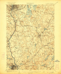
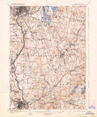
Editions of this 1905 Manchester Map
4 editions found
Other maps of this area

1886 · Lawrence
USGS Topo · 1:62,500

1886 · Lowell
USGS Topo · 1:62,500

1888 · Haverhill
USGS Topo · 1:62,500

1888 · Lawrence
USGS Topo · 1:62,500

1890 · Haverhill
USGS Topo · 1:62,500

1893 · Lowell
USGS Topo · 1:62,500

1893 · Lawrence
USGS Topo · 1:62,500

1893 · Haverhill
USGS Topo · 1:62,500

1893 · Groton
USGS Topo · 1:62,500

1906 · Milford
USGS Topo · 1:62,500