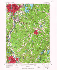
1953 Map of Manchester
USGS Topo · Published 1967About this map
Manchester and Nashua anchor this mid-century portrait of southern New Hampshire, connected by the industrial corridor of the Merrimack River. The landscape reveals a mix of dense urban centers and the expanding suburbs of the 1950s, notably seen at the sprawling Grenier Air Force Base and the emerging residential pockets in Londonderry and Hudson. Rural character persists in the east around Massabesic Lake and Chester, where woodlots and small ponds like Lower Shields Pond dominate the terrain. Significant institutional footprints are visible, including the Pinkerton Academy in Derry and the College Notre Dame in Manchester. Local history and genealogy researchers can find numerous small landmarks, from the Alvirne Memorial Chapel to the Wild Animal Farm in Hudson, while the Boston and Maine Railroad and the Daniel Webster Airfield illustrate the era's evolving transportation network before the interstate system fully transformed the region.
Find a feature on this map
148 named features on this map. Tap any name to fly to it.
Don’t see what you’re looking for? This feature index may not catch every label — zoom into the map to look around manually.
Map Details
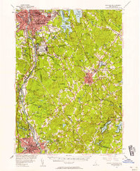
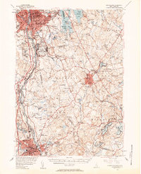
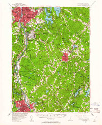
Editions of this 1953 Manchester Map
4 editions found
Other maps of this area

1886 · Lawrence
USGS Topo · 1:62,500

1886 · Lowell
USGS Topo · 1:62,500

1888 · Haverhill
USGS Topo · 1:62,500

1888 · Lawrence
USGS Topo · 1:62,500

1890 · Haverhill
USGS Topo · 1:62,500

1893 · Lowell
USGS Topo · 1:62,500

1893 · Lawrence
USGS Topo · 1:62,500

1893 · Haverhill
USGS Topo · 1:62,500

1893 · Groton
USGS Topo · 1:62,500

1905 · Manchester
USGS Topo · 1:62,500