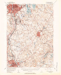
1953 Map of Manchester
USGS Topo · Published 1958About this map
The industrial corridor of the Merrimack River anchor this 1950s survey, showing the concentrated growth of Manchester and Nashua before the expansion of modern suburban sprawl. Central to the landscape is Grenier Air Force Base, a significant Cold War military presence just south of the city. The map documents a transition from the dense urban centers and their associated manufacturing infrastructure to the outlying rural townships like Londonderry and Windham, where small settlements like Windham Depot and Peppermint Corner remained distinct locales.
Find a feature on this map
137 named features on this map. Tap any name to fly to it.
Don’t see what you’re looking for? This feature index may not catch every label — zoom into the map to look around manually.
Map Details
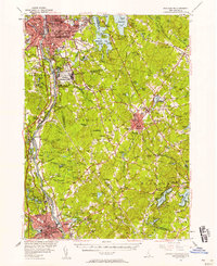
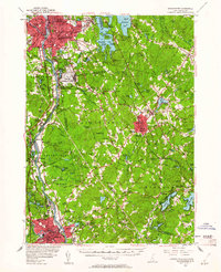
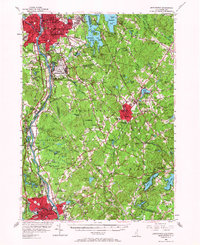
Editions of this 1953 Manchester Map
4 editions found
Other maps of this area

1886 · Lawrence
USGS Topo · 1:62,500

1886 · Lowell
USGS Topo · 1:62,500

1888 · Haverhill
USGS Topo · 1:62,500

1888 · Lawrence
USGS Topo · 1:62,500

1890 · Haverhill
USGS Topo · 1:62,500

1893 · Lowell
USGS Topo · 1:62,500

1893 · Lawrence
USGS Topo · 1:62,500

1893 · Haverhill
USGS Topo · 1:62,500

1893 · Groton
USGS Topo · 1:62,500

1905 · Manchester
USGS Topo · 1:62,500