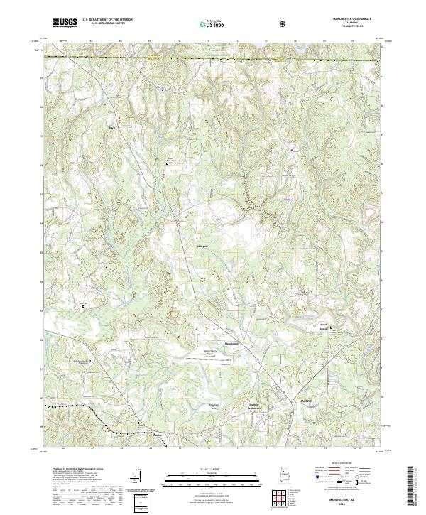
2024 Map of Manchester
USGS Topo · Published 2024About this map
Blackwater Creek and its many tributaries, including Teagle Creek and Charles Creek, define the drainage patterns of this rural Walker County landscape. The northern reaches are dominated by the William B. Bankhead National Forest, while the southern portion transitions toward the outskirts of Jasper. The map reveals a high density of family and community landmarks, particularly small cemeteries like Bennett Cem and Jones Cem, which point to a long history of local settlement across townships like t13s r8w. Transport and infrastructure are centered around the Walker County Airport- Bevill Field and a network of named rural routes such as Johnsey Bridge Rd and Gamble Mine Rd. The landscape is dotted with small communities including Marigold, Manchester, and South Lowell, reflecting the traditional settlement patterns of the Alabama coal country and its associated light industry and agriculture.
Find a feature on this map
119 named features on this map. Tap any name to fly to it.
Don’t see what you’re looking for? This feature index may not catch every label — zoom into the map to look around manually.
Map Details
Editions of this 2024 Manchester Map
This is the sole edition of this map. No revisions or reprints were ever made.
Other maps of this area

1893 · Jasper
USGS Topo · 1:125,000

1949 · Cordova
USGS Topo · 1:24,000

1949 · Townley
USGS Topo · 1:24,000

1949 · Jasper
USGS Topo · 1:24,000

1949 · Manchester
USGS Topo · 1:24,000

1949 · Nauvoo
USGS Topo · 1:24,000

1949 · Sunlight
USGS Topo · 1:24,000

1950 · Nauvoo
USGS Topo · 1:24,000

1950 · Manchester
USGS Topo · 1:24,000

1951 · Jasper
USGS Topo · 1:24,000