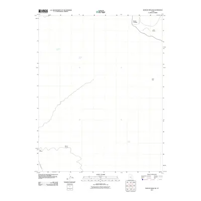
2011 Map of Mancos Mesa NE
USGS Topo · Published 2011About this map
Ducket Crossing anchors the northeastern corner of this San Juan County landscape, marking a vital point along White Canyon Creek. The terrain is defined by a series of dramatic geographic features, including the deep cuts of Manon Canyon and Blue Canyon to the west, and Short Canyon to the east. Remote access through this high desert environment is facilitated primarily by Red Canyon Rd, which winds through the southern and western portions of the quadrangle. Sparse water sources are critical landmarks in this arid region, with Cold Water Spring, Dripping Spring, and Pocket Spring providing essential reference points. Piute Pass serves as a natural corridor through the elevated plateaus, reflecting the traditional routes of movement through this part of southern Utah.
Find a feature on this map
10 named features on this map. Tap any name to fly to it.
Don’t see what you’re looking for? This feature index may not catch every label — zoom into the map to look around manually.
Map Details
Editions of this 2011 Mancos Mesa NE Map
This is the sole edition of this map. No revisions or reprints were ever made.
Other maps of this area

1886 · Henry Mountains
USGS Topo · 1:250,000

1892 · Henry Mountains
USGS Topo · 1:250,000

1952 · Mouth of Dark Canyon
USGS Topo · 1:62,500

1952 · Mancos Mesa
USGS Topo · 1:62,500

1952 · Natural Bridges
USGS Topo · 1:62,500

1952 · Hite
USGS Topo · 1:62,500

1954 · White Canyon 3 SE
USGS Topo · 1:24,000

1954 · White Canyon 3 NW
USGS Topo · 1:24,000

1954 · White Canyon 3 NE
USGS Topo · 1:24,000

1954 · White Canyon 4 SW
USGS Topo · 1:24,000