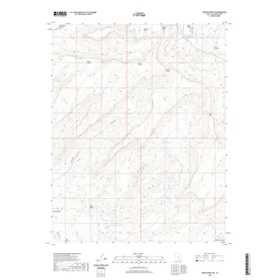
2020 Map of Mancos Mesa NE
USGS Topo · Published 2020About this map
Red Rock Plateau dominates this high-desert landscape in San Juan County, revealing a complex network of drainages and natural water sources essential for desert survival. This modern survey documents the topographical intricate details of the terrain, showing the relationship between elevated features like Wingate Mesa and the deep incisions of White Canyon and Mahon Canyon. Vital water sources such as Cold Water Spring, Dripping Spring, and Pocket Spring are precisely located, providing crucial data for those studying the hydrology of these arid canyonlands. Access is illustrated by the rugged Red Canyon Rd and Horse Tanks Rd, which navigate the steep descents and rises of the plateau. Notable landforms including Piute Pass and Hidden Valley highlight the natural pathways and sheltered pockets that have historically defined movement through this part of the Colorado Plateau.
Find a feature on this map
20 named features on this map. Tap any name to fly to it.
Don’t see what you’re looking for? This feature index may not catch every label — zoom into the map to look around manually.
Map Details
Editions of this 2020 Mancos Mesa NE Map
This is the sole edition of this map. No revisions or reprints were ever made.
Other maps of this area

1886 · Henry Mountains
USGS Topo · 1:250,000

1892 · Henry Mountains
USGS Topo · 1:250,000

1952 · Mouth of Dark Canyon
USGS Topo · 1:62,500

1952 · Mancos Mesa
USGS Topo · 1:62,500

1952 · Natural Bridges
USGS Topo · 1:62,500

1952 · Hite
USGS Topo · 1:62,500

1954 · White Canyon 3 SE
USGS Topo · 1:24,000

1954 · White Canyon 3 NW
USGS Topo · 1:24,000

1954 · White Canyon 3 NE
USGS Topo · 1:24,000

1954 · White Canyon 4 SW
USGS Topo · 1:24,000