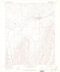
1965 Map of Mancos
USGS Topo · Published 1968About this map
The town of Mancos serves as the hub of the Mancos Valley on this mid-1960s survey, where the Mancos River and its various tributaries like Chicken Creek and Mud Creek carve through the high-desert landscape. The era's transportation shifts are clearly visible, with an Old Railroad Grade running parallel to the river and a Landing Strip established on the north side of town.
Find a feature on this map
29 named features on this map. Tap any name to fly to it.
Don’t see what you’re looking for? This feature index may not catch every label — zoom into the map to look around manually.
Map Details
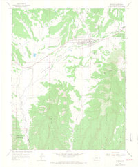
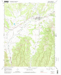
Editions of this 1965 Mancos Map
3 editions found
Other maps of this area

1895 · La Plata
USGS Topo · 1:62,500

1897 · La Plata
USGS Topo · 1:62,500

1899 · La Plata
USGS Topo · 1:62,500

1908 · La Plata
USGS Topo · 1:62,500

1912 · Soda Canyon
USGS Topo · 1:62,500

1913 · Red Mesa
USGS Topo · 1:62,500

1915 · Soda Canyon
USGS Topo · 1:62,500

1956 · Cortez
USGS Topo · 1:250,000

1958 · Cortez
USGS Topo · 1:250,000

1959 · Cortez
USGS Topo · 1:250,000