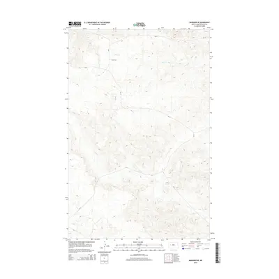
2014 Map of Mandaree NE
USGS Topo · Published 2014About this map
Skunk Cr winds through the northern portion of this landscape, carving a drainage pattern through the dissected terrain of the Fort Berthold Indian Reservation. The map detail highlights a sparse network of Bureau of Indian Affairs routes, including Bia-10 and Bia-12, which serve as the primary conduits through the hills. This 2014 survey by the U.S. Geological Survey provides a precise view of the topography and infrastructure in Dunn County. Beyond the primary BIA corridors, secondary routes like 22nd St NW and Bia-14 trace the ridgelines, illustrating the modern rural road development and land management patterns characteristic of this part of North Dakota.
Find a feature on this map
6 named features on this map. Tap any name to fly to it.
Don’t see what you’re looking for? This feature index may not catch every label — zoom into the map to look around manually.
Map Details
Editions of this 2014 Mandaree NE Map
This is the sole edition of this map. No revisions or reprints were ever made.
Other maps of this area

1953 · Watford City
USGS Topo · 1:250,000

1957 · Watford City
USGS Topo · 1:250,000

1967 · Watford City
USGS Topo · 1:250,000

1967 · Sanish SE
USGS Topo · 1:24,000

1967 · New Town SW
USGS Topo · 1:24,000

1967 · Sanish SW
USGS Topo · 1:24,000

1970 · Mandaree
USGS Topo · 1:24,000

1970 · String Buttes
USGS Topo · 1:24,000

1970 · Mandaree SW
USGS Topo · 1:24,000

1970 · Mandaree SE
USGS Topo · 1:24,000