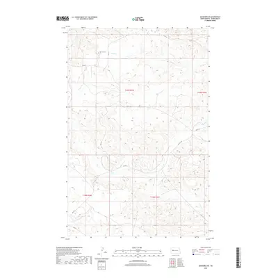
2018 Map of Mandaree NE
USGS Topo · Published 2018About this map
Saint Anthony's Cem serves as a significant focal point in this portion of the Fort Berthold Indian Reservation, situated in the uplands above the Missouri River breaks. The landscape is defined by the winding course of Skunk Cr, which carves through the terrain as it flows toward the southwest. This 2018 survey reveals the critical infrastructure of the Bureau of Indian Affairs road network, including Bia Rd 10 and Bia Rte 12, which provide the primary access through this rural expanse. The map illustrates the modern cadastral organization of Dunn County, showing the intersection of several townships including t149n r93w and t148n r93w. This digital-era representation documents the persistent agricultural and cemetery sites that anchor the local community within the larger reservation geography.
Find a feature on this map
13 named features on this map. Tap any name to fly to it.
Don’t see what you’re looking for? This feature index may not catch every label — zoom into the map to look around manually.
Map Details
Editions of this 2018 Mandaree NE Map
This is the sole edition of this map. No revisions or reprints were ever made.
Other maps of this area

1953 · Watford City
USGS Topo · 1:250,000

1957 · Watford City
USGS Topo · 1:250,000

1967 · Watford City
USGS Topo · 1:250,000

1967 · Sanish SE
USGS Topo · 1:24,000

1967 · New Town SW
USGS Topo · 1:24,000

1967 · Sanish SW
USGS Topo · 1:24,000

1970 · Mandaree
USGS Topo · 1:24,000

1970 · String Buttes
USGS Topo · 1:24,000

1970 · Mandaree SW
USGS Topo · 1:24,000

1970 · Mandaree SE
USGS Topo · 1:24,000