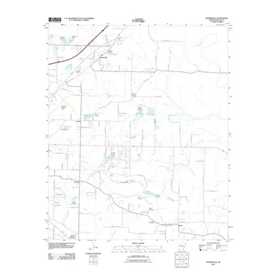
2011 Map of Mandeville
USGS Topo · Published 2011About this map
Mandeville and Rondo anchor this portion of Miller County northeast of Texarkana, where small settlements are connected by a network of rural roads such as Mandeville Rd and Old Post Rd. The landscape is characterized by a dense system of bayous and creeks, including Bois d'Arc Bayou and the winding Finn Bayou, which drain into numerous small lakes and ponds like Cox Lake and Buford Lake. This map reveals a transition between the more developed outskirts near Texarkana Regional Airport and the agrarian character surrounding Genoa and Mount Pleasant. Genealogists will find several burial grounds across the terrain, including Cleveland Cemetery, Rondo Cemetery, and Polk Cemetery, while aviation history is represented by both the regional airport and Macks Airport. The presence of the Genoa Post Office and Camp Hunt underscores the community's local infrastructure during this era.
Find a feature on this map
113 named features on this map. Tap any name to fly to it.
Don’t see what you’re looking for? This feature index may not catch every label — zoom into the map to look around manually.
Map Details
Editions of this 2011 Mandeville Map
This is the sole edition of this map. No revisions or reprints were ever made.
Other maps of this area

1909 · Texarkana
USGS Topo · 1:62,500

1950 · Ogden
USGS Topo · 1:24,000

1951 · Ogden
USGS Topo · 1:24,000

1951 · Homan
USGS Topo · 1:24,000

1951 · Fulton
USGS Topo · 1:24,000

1952 · Mandeville
USGS Topo · 1:24,000

1952 · Fouke SE
USGS Topo · 1:24,000

1952 · Fouke
USGS Topo · 1:24,000

1952 · Fouke NE
USGS Topo · 1:24,000

1953 · Texarkana
USGS Topo · 1:250,000