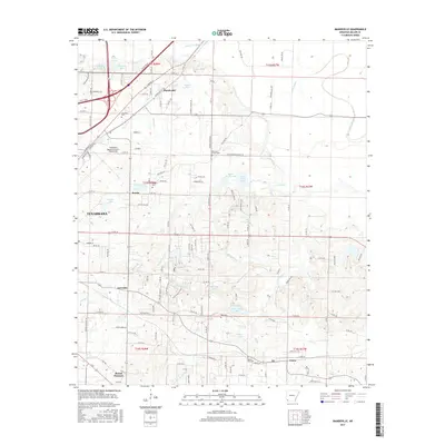
2017 Map of Mandeville
USGS Topo · Published 2017About this map
Texarkana and its eastern environs are defined by a complex network of bayous and small lakes, most notably along the drainage of Bois d'Arc Bayou and Finn Bayou. This 2017 survey reveals the established communities of Mandeville, Rondo, and Genoa, alongside smaller locales like Gertrude and Mount Pleasant. The landscape is dotted with several family and community burial sites, including Cleveland Cem, Harrison Chapel Cem, and Mount Oba Cem, which serve as vital landmarks for local history.
Find a feature on this map
147 named features on this map. Tap any name to fly to it.
Don’t see what you’re looking for? This feature index may not catch every label — zoom into the map to look around manually.
Map Details
Editions of this 2017 Mandeville Map
This is the sole edition of this map. No revisions or reprints were ever made.
Other maps of this area

1909 · Texarkana
USGS Topo · 1:62,500

1950 · Ogden
USGS Topo · 1:24,000

1951 · Ogden
USGS Topo · 1:24,000

1951 · Homan
USGS Topo · 1:24,000

1951 · Fulton
USGS Topo · 1:24,000

1952 · Mandeville
USGS Topo · 1:24,000

1952 · Fouke SE
USGS Topo · 1:24,000

1952 · Fouke
USGS Topo · 1:24,000

1952 · Fouke NE
USGS Topo · 1:24,000

1953 · Texarkana
USGS Topo · 1:250,000