2024 Map of Mandeville
USGS Topo · Published 2024About this map
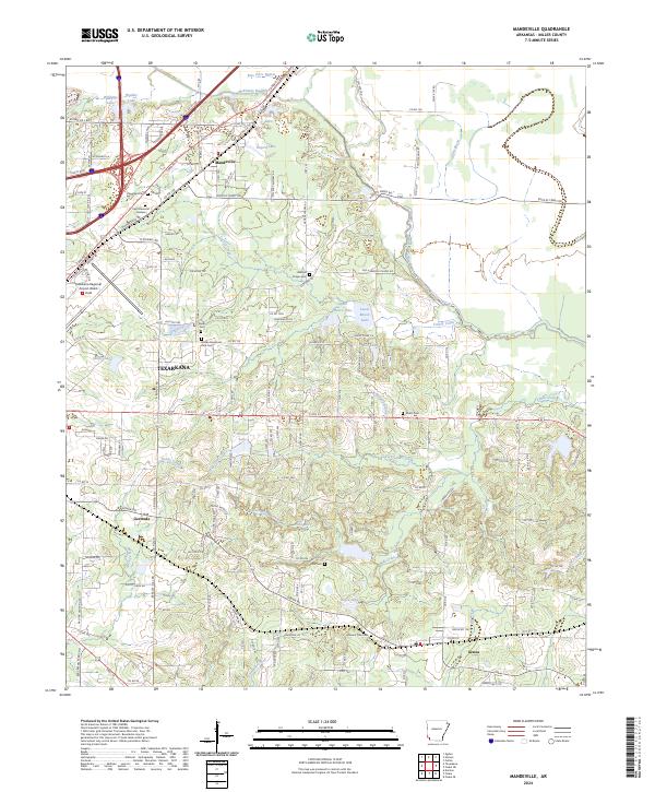
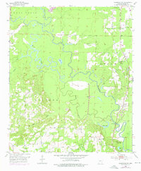
McKinney Bayou and Bois d'Arc Bayou meander through this Miller County landscape northeast of Texarkana, where the Kansas City Southern RR cuts a diagonal path toward the settlement of Mandeville. This 2024 survey captures a rural network of small communities and family burial grounds, including the Cleveland Cem and Rondo Cem. The terrain is defined by a high density of small lakes and creek branches, such as Wooten Lake, Old Bitty Lake, and Tennessee Branch, which illustrate the complex drainage patterns of the Red River valley. The infrastructure of the Texarkana Regional Airport-Webb Field stands out in the northwest, contrasting with the scattered residential patterns in Genoa and the former stop at Gertrude. Genealogists will find numerous small cemeteries documented here, from Harrison Chapel Cem to the remote Polk Cem, providing a precise record of local heritage sites.
Find a feature on this map
189 named features on this map. Tap any name to fly to it.
Don’t see what you’re looking for? This feature index may not catch every label — zoom into the map to look around manually.
Map Details
Editions of this 2024 Mandeville Map
This is the sole edition of this map. No revisions or reprints were ever made.
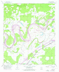
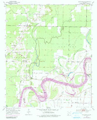
Historical Maps of Lakewood Estates Through Time
15 maps found
1951 Homan
Miller County, AR
1952 Doddridge
Miller County, AR
1952 Doddridge NE
Miller County, AR
1952 Doddridge NW
Miller County, AR
1952 Fouke NE
Miller County, AR
1952 Fouke SE
Miller County, AR
1952 Mandeville
Miller County, AR
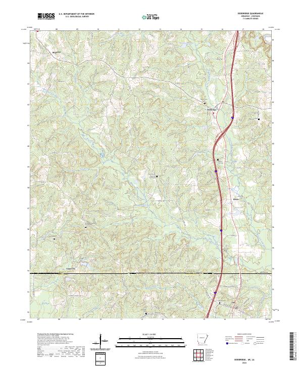
2024 Doddridge
Miller County, AR
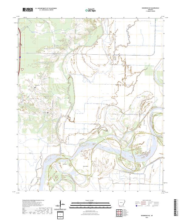
2024 Doddridge NE
Miller County, AR
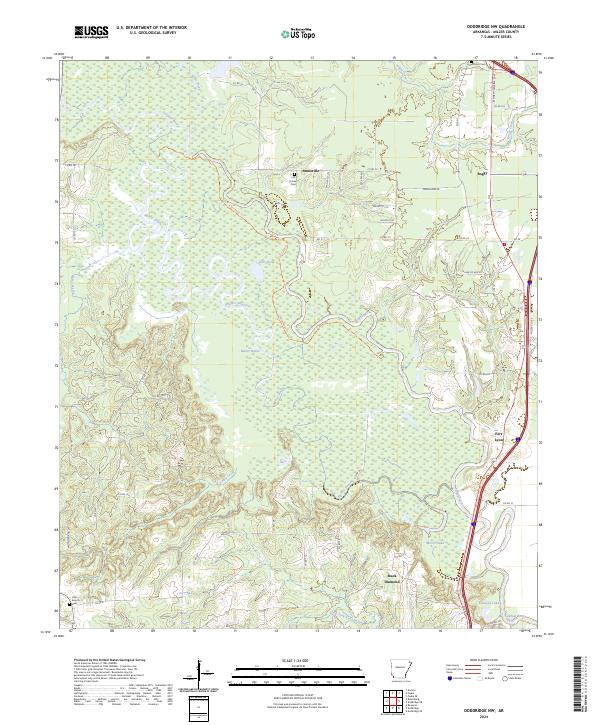
2024 Doddridge NW
Miller County, AR
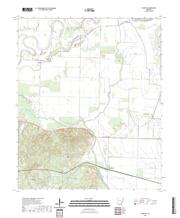
2024 Fouke NE
Miller County, AR
2024 Fouke SE
Miller County, AR
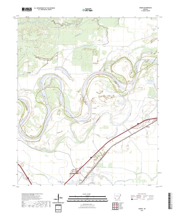
2024 Homan
Miller County, AR
2024 Mandeville
Miller County, AR
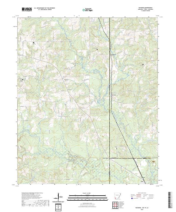
2024 Ravanna
Miller County, AR