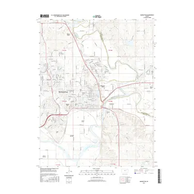
2016 Map of Manhattan
USGS Topo · Published 2016About this map
Manhattan serves as the focal point of this Kansas landscape, where the confluence of the Big Blue River and the Kansas River has long shaped the region's development. This 2016 survey highlights the significant institutional presence of Kansas State Univ, which occupies a large portion of the city's northwest. The map details the urban core's transition into agricultural river plains, featuring areas like Moehlman Bottoms and Ashland Bottoms to the south.
Find a feature on this map
106 named features on this map. Tap any name to fly to it.
Don’t see what you’re looking for? This feature index may not catch every label — zoom into the map to look around manually.
Map Details
Editions of this 2016 Manhattan Map
This is the sole edition of this map. No revisions or reprints were ever made.
Other maps of this area

1886 · Junction City
USGS Topo · 1:125,000

1889 · Wamego
USGS Topo · 1:125,000

1889 · Junction City
USGS Topo · 1:125,000

1894 · Junction City
USGS Topo · 1:125,000

1894 · Wamego
USGS Topo · 1:125,000

1947 · Manhattan
USGS Topo · 1:62,500

1950 · Keats
USGS Topo · 1:24,000

1950 · Manhattan
USGS Topo · 1:24,000

1951 · Swede Creek
USGS Topo · 1:24,000

1951 · Ogden
USGS Topo · 1:24,000