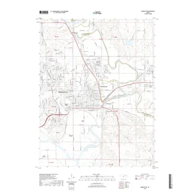
2018 Map of Manhattan
USGS Topo · Published 2018About this map
Manhattan serves as the focal point of this landscape where the Big Blue River and Kansas River converge. The topography is defined by significant elevations like Bluemont Hill and Stagg Hill, which overlook the expansive alluvial plains of Moehlman Bottoms and Ashland Bottoms. This modern survey details the extensive urban grid of the city, including neighborhoods near Sunset Park and the academic corridor along Hunting Ave. For local historians and genealogists, the map identifies several significant burial grounds, including the large Sunset Cem near the city center, and the more peripheral Saint Patricks Cem and Valley View Memorial Garden. The periphery shows the transition from urban development to the rural character of Rocky Ford and Fairmont, as well as the significant infrastructure of Fort Riley Blvd connecting the community to the nearby military installation.
Find a feature on this map
110 named features on this map. Tap any name to fly to it.
Don’t see what you’re looking for? This feature index may not catch every label — zoom into the map to look around manually.
Map Details
Editions of this 2018 Manhattan Map
This is the sole edition of this map. No revisions or reprints were ever made.
Other maps of this area

1886 · Junction City
USGS Topo · 1:125,000

1889 · Wamego
USGS Topo · 1:125,000

1889 · Junction City
USGS Topo · 1:125,000

1894 · Junction City
USGS Topo · 1:125,000

1894 · Wamego
USGS Topo · 1:125,000

1947 · Manhattan
USGS Topo · 1:62,500

1950 · Keats
USGS Topo · 1:24,000

1950 · Manhattan
USGS Topo · 1:24,000

1951 · Swede Creek
USGS Topo · 1:24,000

1951 · Ogden
USGS Topo · 1:24,000