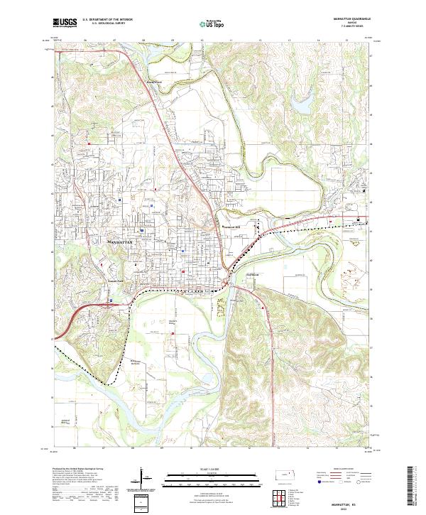
2022 Map of Manhattan
USGS Topo · Published 2022About this map
The confluence of the Kansas River and the Big Blue River anchors this 2022 survey of Manhattan, Kansas. The landscape is defined by the academic and civic core of the region, prominently featuring the extensive grounds of Kansas State University, Manhattan Christian College, and the Manhattan-Area Technical College. Near the center of town, the Riley County Courthouse stands as a focal point of local administration, while the nearby Sunset Cem provides a genealogical record of the city's residents.
Find a feature on this map
148 named features on this map. Tap any name to fly to it.
Don’t see what you’re looking for? This feature index may not catch every label — zoom into the map to look around manually.
Map Details
Editions of this 2022 Manhattan Map
This is the sole edition of this map. No revisions or reprints were ever made.
Other maps of this area

1886 · Junction City
USGS Topo · 1:125,000

1889 · Wamego
USGS Topo · 1:125,000

1889 · Junction City
USGS Topo · 1:125,000

1894 · Junction City
USGS Topo · 1:125,000

1894 · Wamego
USGS Topo · 1:125,000

1947 · Manhattan
USGS Topo · 1:62,500

1950 · Keats
USGS Topo · 1:24,000

1950 · Manhattan
USGS Topo · 1:24,000

1951 · Swede Creek
USGS Topo · 1:24,000

1951 · Ogden
USGS Topo · 1:24,000