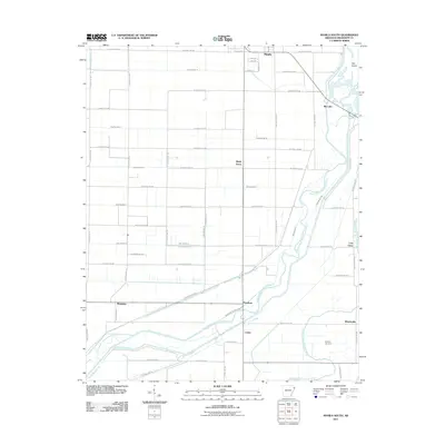
2011 Map of Manila South
USGS Topo · Published 2011About this map
The alluvial plains of Mississippi County are defined here by an intricate drainage network designed to manage the delta landscape. The southern outskirts of Manila give way to a structured grid of agricultural roads and an extensive system of numbered ditches, including Ditch Number 13 and Ditch Number 11. These engineered waterways feed into the more natural, meandering paths of the Right Hand Chute Little River and the Left Hand Chute of Little River, which dominate the eastern and southern portions of the quadrangle.
Find a feature on this map
61 named features on this map. Tap any name to fly to it.
Don’t see what you’re looking for? This feature index may not catch every label — zoom into the map to look around manually.
Map Details
Editions of this 2011 Manila South Map
This is the sole edition of this map. No revisions or reprints were ever made.
Other maps of this area

1939 · Evadale
USGS Topo · 1:62,500

1941 · Leachville
USGS Topo · 1:62,500

1941 · Manila
USGS Topo · 1:62,500

1941 · Marked Tree
USGS Topo · 1:62,500

1953 · Memphis
USGS Topo · 1:250,000

1956 · Leachville
USGS Topo · 1:62,500

1956 · Manila
USGS Topo · 1:62,500

1956 · Evadale
USGS Topo · 1:62,500

1956 · Marked Tree
USGS Topo · 1:62,500

1956 · Memphis
USGS Topo · 1:250,000