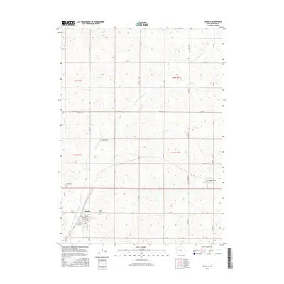
2015 Map of Manilla
USGS Topo · Published 2015About this map
Manilla serves as the primary hub of this western Iowa agricultural landscape, where the town grid is clearly defined by named thoroughfares like Park Ave and 1st Ave. The local topography is carved by the W Fork W Nishnabotna River, which snakes across the western half of the territory. This waterway is spanned by the Nishnabotna River Bridge and fed by smaller drainage features such as Malony Br and Elk Cr. Nearby, the small community of Aspinwall sits along Rail Road St, marking a point of intersection between early transport routes and the surrounding farmland. For those tracing local heritage, the map identifies significant resting places including Nishnabotna Cem and Mount Olivet Cem, which are positioned near the established settlements and the river's path.
Find a feature on this map
40 named features on this map. Tap any name to fly to it.
Don’t see what you’re looking for? This feature index may not catch every label — zoom into the map to look around manually.
Map Details
Editions of this 2015 Manilla Map
This is the sole edition of this map. No revisions or reprints were ever made.
Other maps of this area

1954 · Omaha
USGS Topo · 1:250,000

1954 · Fort Dodge
USGS Topo · 1:250,000

1957 · Omaha
USGS Topo · 1:250,000

1957 · Fort Dodge
USGS Topo · 1:250,000

1958 · Omaha
USGS Topo · 1:250,000

1958 · Fort Dodge
USGS Topo · 1:250,000

1971 · Earling NE
USGS Topo · 1:24,000

1971 · Denison
USGS Topo · 1:24,000

1971 · Defiance
USGS Topo · 1:24,000

1978 · Manilla
USGS Topo · 1:24,000