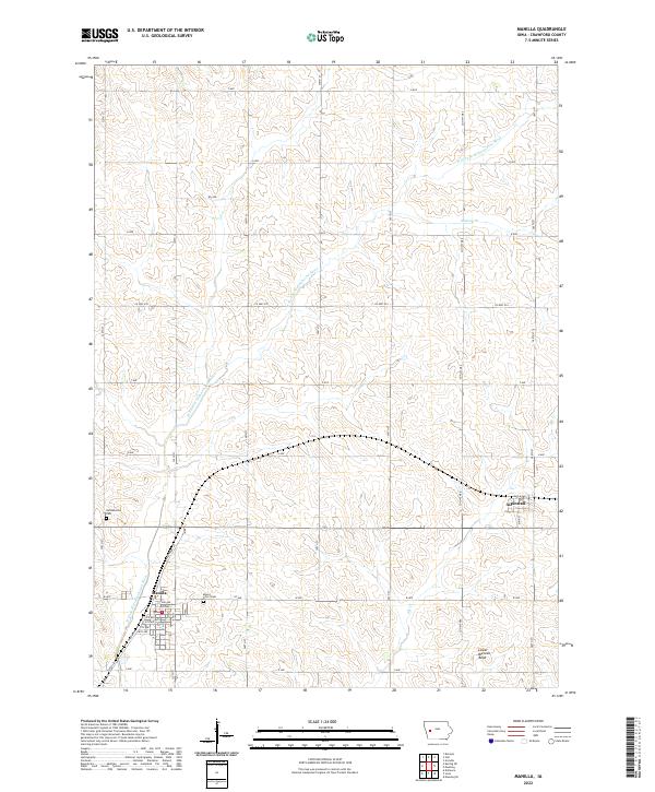
2022 Map of Manilla
USGS Topo · Published 2022About this map
The town of Manilla serves as the focal point of this western Iowa landscape, where a structured grid of numbered avenues and streets meets the winding course of the W Fork W Nishnabotna River. This section of Crawford County reflects a mature agricultural and residential layout, anchored by the settlement at Aspinwall and the rural infrastructure that supports the surrounding farmsteads. Local history is anchored by sites like Mount Olivet Cem and Nishnabotna Cem, which stand as landmarks for family researchers. The terrain is defined by the subtle drainage patterns of Elk Cr and Malony Br, which feed into the river system. Evidence of the region's transportation history remains visible along Railroad St, while the natural topography is highlighted by features such as Lower Blencoe Bend to the southeast.
Find a feature on this map
40 named features on this map. Tap any name to fly to it.
Don’t see what you’re looking for? This feature index may not catch every label — zoom into the map to look around manually.
Map Details
Editions of this 2022 Manilla Map
This is the sole edition of this map. No revisions or reprints were ever made.
Other maps of this area

1954 · Omaha
USGS Topo · 1:250,000

1954 · Fort Dodge
USGS Topo · 1:250,000

1957 · Omaha
USGS Topo · 1:250,000

1957 · Fort Dodge
USGS Topo · 1:250,000

1958 · Omaha
USGS Topo · 1:250,000

1958 · Fort Dodge
USGS Topo · 1:250,000

1971 · Earling NE
USGS Topo · 1:24,000

1971 · Denison
USGS Topo · 1:24,000

1971 · Defiance
USGS Topo · 1:24,000

1978 · Manilla
USGS Topo · 1:24,000