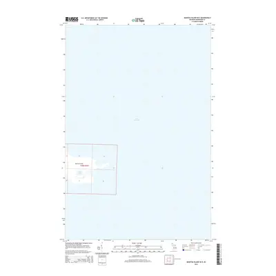
2014 Map of Manitou Island OE E
USGS Topo · Published 2014About this map
Manitou Island dominates the southwestern corner of this survey, surrounded by the expanse of Lake Superior. This isolated landmass in Keweenaw County is defined by its coastal geography, featuring a small interior water body known as Perch Lake. The map details the island's survey grid, identifying specific sections such as 15, 16, and 21 within township t58n r26w. This 2014 edition captures the island's coastline and topography as it appeared in the early 21st century, providing a precise record of this remote portion of Michigan's Upper Peninsula.
Find a feature on this map
10 named features on this map. Tap any name to fly to it.
Don’t see what you’re looking for? This feature index may not catch every label — zoom into the map to look around manually.
Map Details
Editions of this 2014 Manitou Island OE E Map
This is the sole edition of this map. No revisions or reprints were ever made.
Other maps of this area
1940 · Manitou Island
USGS Topo · 1:31,680
1948 · Manitou Island
USGS Topo · 1:24,000
1949 · Manitou Island
USGS Topo · 1:24,000

1958 · Hancock
USGS Topo · 1:250,000

1960 · Hancock
USGS Topo · 1:250,000

1961 · Hancock
USGS Topo · 1:250,000

1966 · Hancock
USGS Topo · 1:250,000
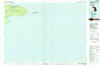
1985 · Copper Harbor
USGS Topo · 1:100,000
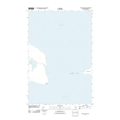
2011 · Manitou Island
USGS Topo · 1:24,000
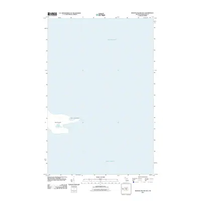
2011 · Manitou Island OE E
USGS Topo · 1:24,000