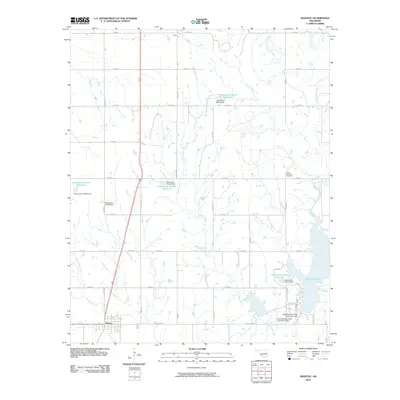
2010 Map of Manitou
USGS Topo · Published 2010About this map
Manitou anchors the southwestern portion of this Tillman County landscape, where the grid of the High Plains meets an extensive network of managed waterways. The drainage of Deadman Creek and Coffin Creek feeds a series of agricultural reservoirs, including the large Lake Frederick in the southeast. This 2010 survey illustrates the sophisticated water management infrastructure of the region, featuring several significant earthen works such as the Deep Red Run-Coffin Creek Site 1 Dam and Deep Red Run-Coffin Creek Site 2 Dam.
Find a feature on this map
36 named features on this map. Tap any name to fly to it.
Don’t see what you’re looking for? This feature index may not catch every label — zoom into the map to look around manually.
Map Details
Editions of this 2010 Manitou Map
This is the sole edition of this map. No revisions or reprints were ever made.
Other maps of this area

1950 · Snyder
USGS Topo · 1:62,500

1955 · Lawton
USGS Topo · 1:250,000

1956 · Odetta
USGS Topo · 1:24,000

1956 · Manitou
USGS Topo · 1:24,000

1956 · Snyder
USGS Topo · 1:24,000

1956 · Indiahoma
USGS Topo · 1:24,000

1956 · Snyder
USGS Topo · 1:62,500

1958 · Frederick
USGS Topo · 1:62,500

1964 · Tipton SE
USGS Topo · 1:24,000

1964 · Long Mountain
USGS Topo · 1:24,000