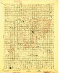
1894 Map of Mankato
USGS Topo · Published 1901About this map
Mankato serves as the central hub of this late 19th-century survey, surrounded by a dense network of township divisions and early prairie settlements. The landscape is defined by the drainage systems of White Rock Creek and Buffalo Creek, which carve through the terrain as it rises toward landmarks like White Mound. This era captures the critical role of rail transport in the expansion of North-Central Kansas, with the Chicago Rock Island and Pacific Railway cutting diagonally across the region, intersecting near the county seat.
Find a feature on this map
60 named features on this map. Tap any name to fly to it.
Don’t see what you’re looking for? This feature index may not catch every label — zoom into the map to look around manually.
Map Details
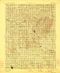
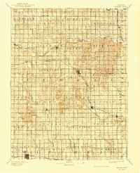
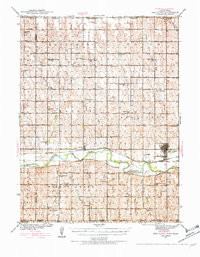
Editions of this 1894 Mankato Map
4 editions found
Other maps of this area

1892 · Concordia
USGS Topo · 1:125,000

1892 · Minneapolis
USGS Topo · 1:125,000

1893 · Smith Center
USGS Topo · 1:125,000

1894 · Mankato
USGS Topo · 1:125,000

1894 · Beloit
USGS Topo · 1:125,000

1896 · Osborne
USGS Topo · 1:125,000

1897 · Red Cloud
USGS Topo · 1:125,000

1898 · Superior
USGS Topo · 1:125,000

1898 · Hebron
USGS Topo · 1:125,000
1940 · Red Cloud
USGS Topo · 1:62,500