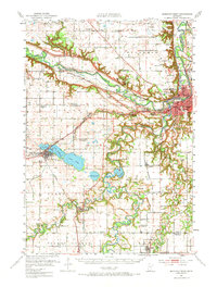
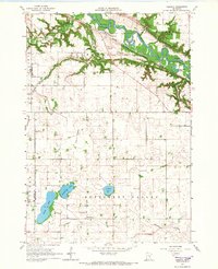
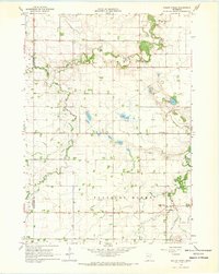
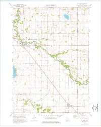
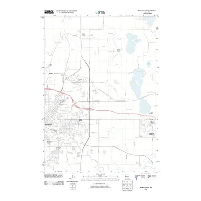
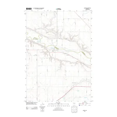
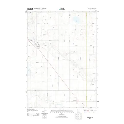
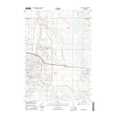
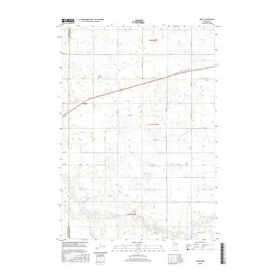
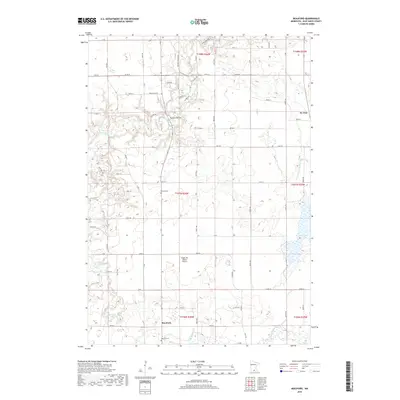
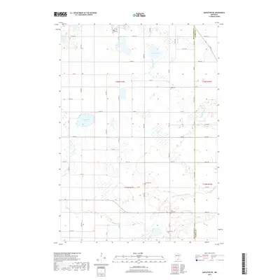
1951 Map of Mankato West
USGS Topo · Published 1974About this map
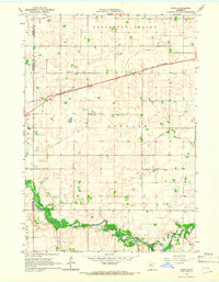
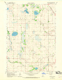
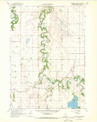
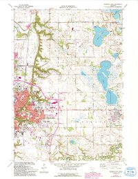
The Minnesota River carves a deep valley across this landscape, meeting the Blue Earth River at the growing hub of Mankato. The early 1950s terrain reveals a complex network of waterways and glacial lakes, including Lake Crystal, Loon Lake, and the winding Maple River near Good Thunder. Local landmarks like Minneopa State Park highlight the area's natural features, specifically Minneopa Falls and Minnewaukon Falls along the Minneopa Creek.
Find a feature on this map
71 named features on this map. Tap any name to fly to it.
Don’t see what you’re looking for? This feature index may not catch every label — zoom into the map to look around manually.
Map Details
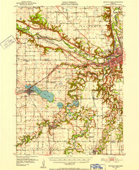
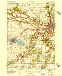
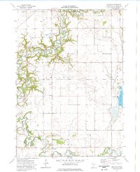
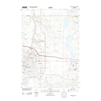
Editions of this 1951 Mankato West Map
3 editions found
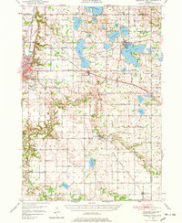
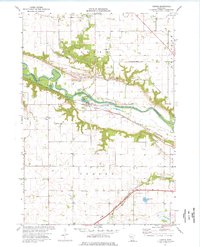
Historical Maps of Mankato Through Time
57 maps found
1950 Mankato East
Blue Earth County, MN

1951 Mankato East
Blue Earth County, MN
1951 Mankato West
Blue Earth County, MN
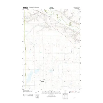
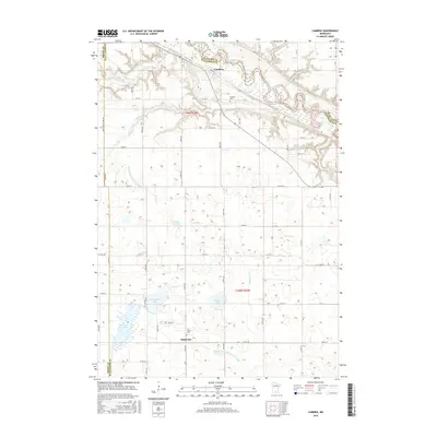
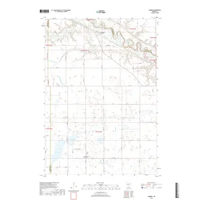
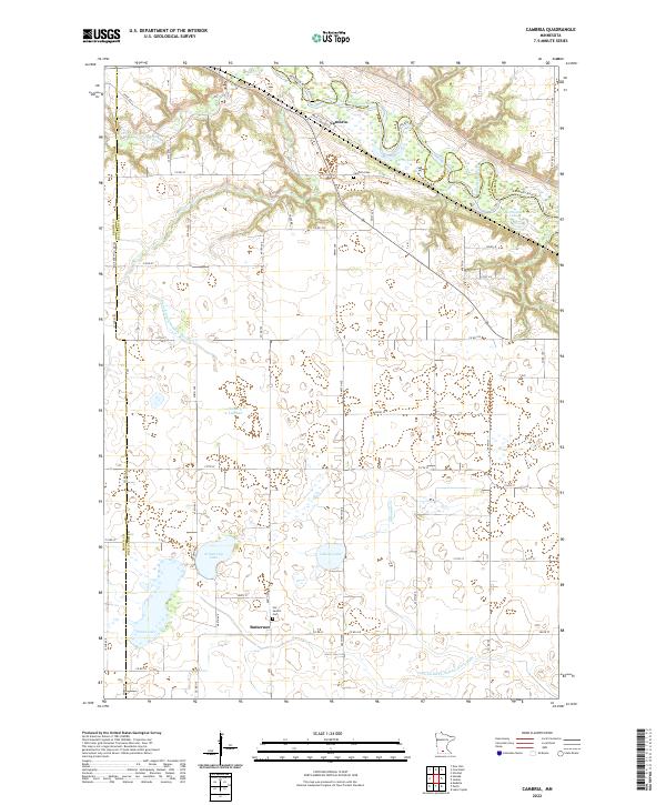
1965 Cambria
Blue Earth County, MN
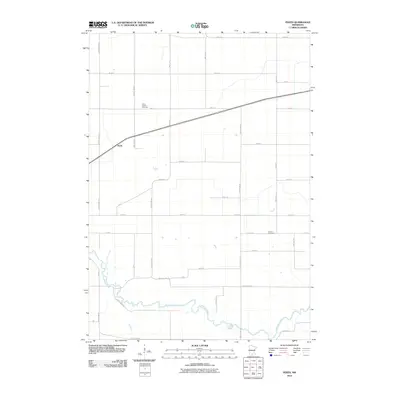
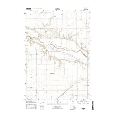
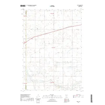
1965 Perth
Blue Earth County, MN
1967 Mapleton NE
Blue Earth County, MN
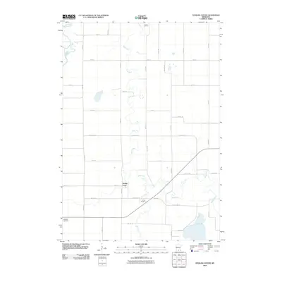
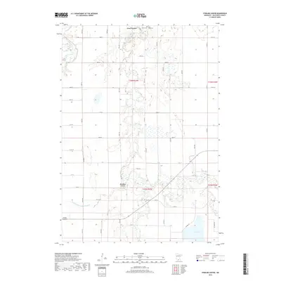
1967 Sterling Center
Blue Earth County, MN
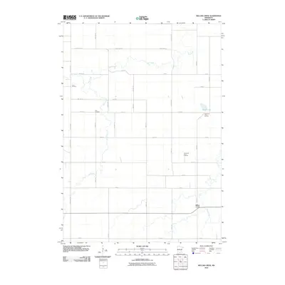
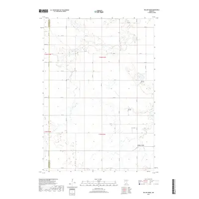
1967 Willow Creek
Blue Earth County, MN
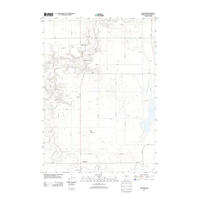
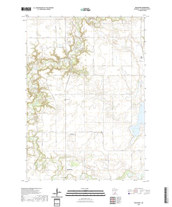
1974 Beauford
Blue Earth County, MN
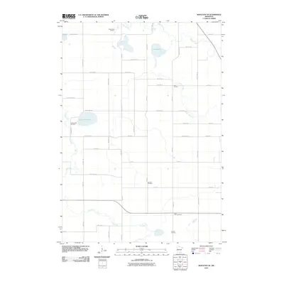
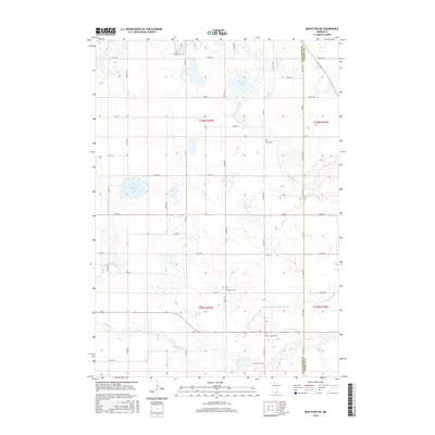
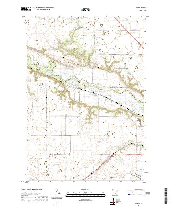
1974 Judson
Blue Earth County, MN
1974 Mankato East
Blue Earth County, MN
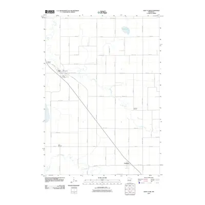
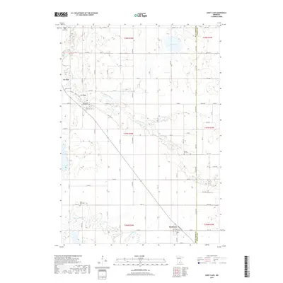
1974 St Clair
Blue Earth County, MN
2010 Beauford
Blue Earth County, MN
2010 Cambria
Blue Earth County, MN
2010 Judson
Blue Earth County, MN
2010 Mankato East
Blue Earth County, MN
2010 Mapleton NE
Blue Earth County, MN
2010 Perth
Blue Earth County, MN
2010 Saint Clair
Blue Earth County, MN
2010 Sterling Center
Blue Earth County, MN
2010 Willow Creek
Blue Earth County, MN
2013 Beauford
Blue Earth County, MN
2013 Cambria
Blue Earth County, MN
2013 Judson
Blue Earth County, MN
2013 Mankato East
Blue Earth County, MN
2013 Mapleton NE
Blue Earth County, MN
2013 Perth
Blue Earth County, MN
2013 Saint Clair
Blue Earth County, MN
2013 Sterling Center
Blue Earth County, MN
2013 Willow Creek
Blue Earth County, MN
2016 Beauford
Blue Earth County, MN
2016 Cambria
Blue Earth County, MN
2016 Judson
Blue Earth County, MN
2016 Mankato East
Blue Earth County, MN
2016 Mapleton NE
Blue Earth County, MN
2016 Perth
Blue Earth County, MN
2016 Saint Clair
Blue Earth County, MN
2016 Sterling Center
Blue Earth County, MN
2016 Willow Creek
Blue Earth County, MN
2019 Beauford
Blue Earth County, MN
2019 Cambria
Blue Earth County, MN
2019 Judson
Blue Earth County, MN
2019 Mankato East
Blue Earth County, MN
2019 Mapleton NE
Blue Earth County, MN
2019 Perth
Blue Earth County, MN
2019 Saint Clair
Blue Earth County, MN
2019 Sterling Center
Blue Earth County, MN
2019 Willow Creek
Blue Earth County, MN
2022 Beauford
Blue Earth County, MN
2022 Cambria
Blue Earth County, MN
2022 Judson
Blue Earth County, MN
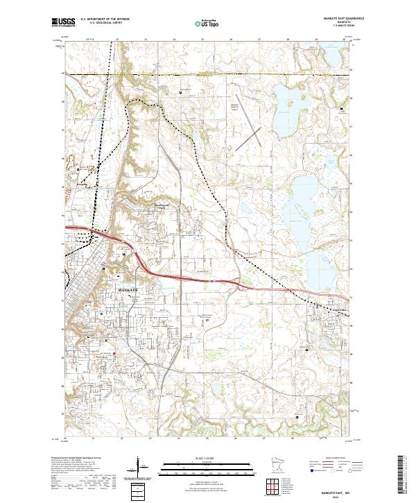
2022 Mankato East
Blue Earth County, MN
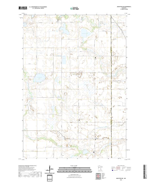
2022 Mapleton NE
Blue Earth County, MN
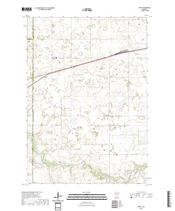
2022 Perth
Blue Earth County, MN
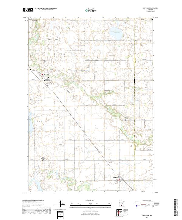
2022 Saint Clair
Blue Earth County, MN
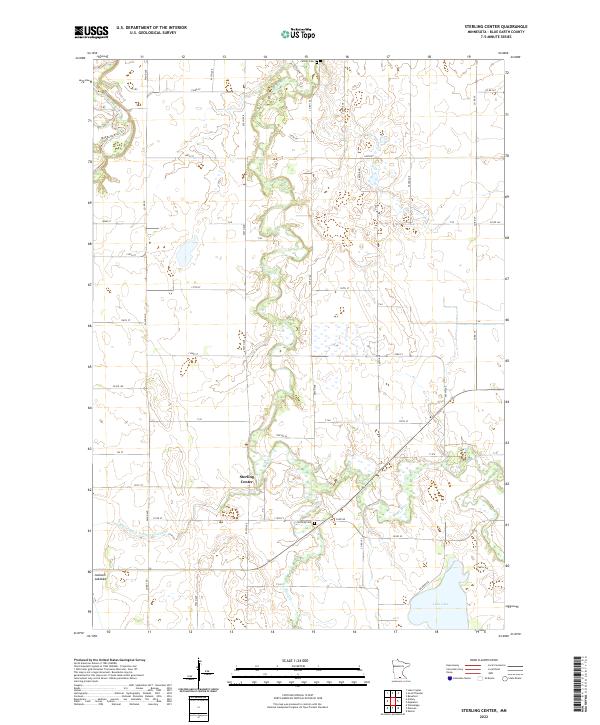
2022 Sterling Center
Blue Earth County, MN
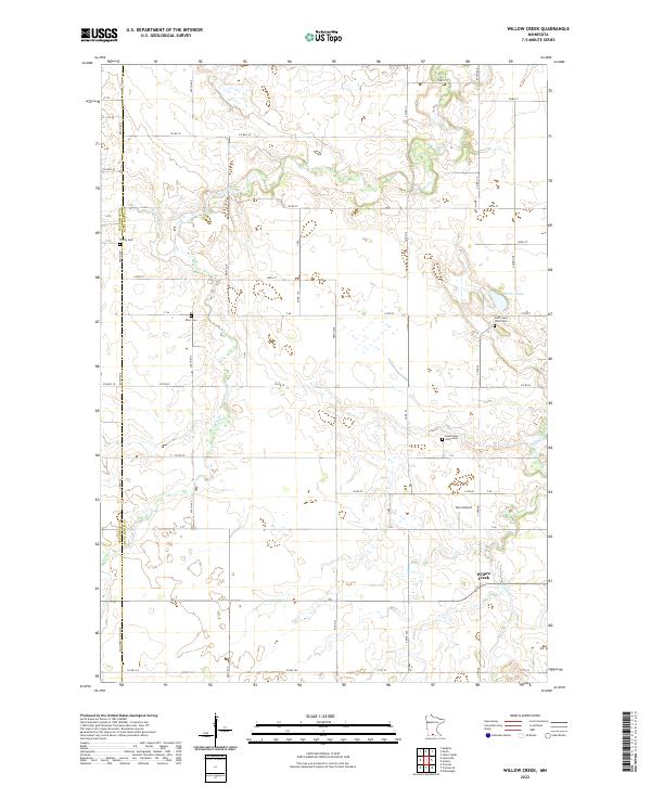
2022 Willow Creek
Blue Earth County, MN