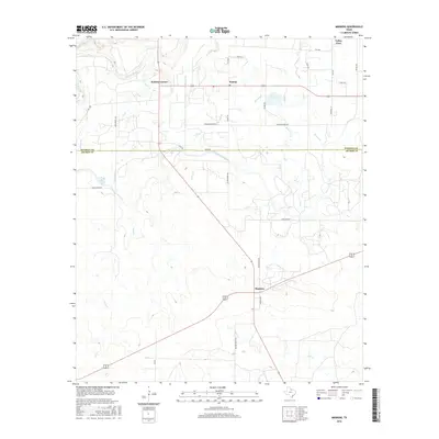
2016 Map of Mankins
USGS Topo · Published 2016About this map
The Wichita River and a complex network of irrigation channels define this landscape along the border of Wichita and Archer counties. This 2016 survey highlights a region shaped by agricultural water management, where the South Side Canal and various laterals such as SE Lateral and SQ Lateral distribute water across the plains. Small rural communities serve as focal points for the surrounding ranching and farming operations, with Mankins situated at a central road junction and Kamay located to the north.
Find a feature on this map
37 named features on this map. Tap any name to fly to it.
Don’t see what you’re looking for? This feature index may not catch every label — zoom into the map to look around manually.
Map Details
Editions of this 2016 Mankins Map
This is the sole edition of this map. No revisions or reprints were ever made.
Other maps of this area

1916 · Iowa Park
USGS Topo · 1:24,000

1916 · Fowlkes
USGS Topo · 1:24,000

1917 · Beaver Creek
USGS Topo · 1:24,000

1918 · Iowa Park
USGS Topo · 1:31,680

1919 · Fowlkes
USGS Topo · 1:31,680

1920 · Beaver Creek
USGS Topo · 1:31,680

1931 · Archer City
USGS Topo · 1:62,500

1932 · Dundee
USGS Topo · 1:62,500

1954 · Wichita Falls
USGS Topo · 1:250,000

1957 · Wichita Falls West
USGS Topo · 1:62,500