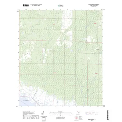
2024 Map of Manlin Hammock
USGS Topo · Published 2024About this map
Manlin Hammock characterizes this low-lying coastal reach of Taylor County, where a complex network of wetlands and tidal creeks meets the Gulf of Mexico. The landscape is defined by elevated landforms known as hammocks and islands, including Thomas Mill Hammock and Thomas Mill Island, which suggest historic high-ground activity in an otherwise marshy environment. Waterways like Regular Creek, Thomas Mill Run, and the Fenholloway River dominate the drainage pattern, eventually filtering into the gulf through various inlets. Local navigation is facilitated by long-established logging or access routes such as Rattlesnake Grade and Mossey Hammock Grade. For modern recreation, the Florida Circumnavigational Paddling Trl skirts the coastline, providing a water-based perspective of this largely undeveloped littoral zone.
Find a feature on this map
21 named features on this map. Tap any name to fly to it.
Don’t see what you’re looking for? This feature index may not catch every label — zoom into the map to look around manually.
Map Details
Editions of this 2024 Manlin Hammock Map
This is the sole edition of this map. No revisions or reprints were ever made.
Other maps of this area

1952 · Secotan
USGS Topo · 1:24,000

1954 · Johnson Hammock
USGS Topo · 1:24,000

1954 · Hampton Springs
USGS Topo · 1:24,000

1954 · Secotan
USGS Topo · 1:24,000

1954 · Okefenokee Slough
USGS Topo · 1:24,000

1954 · Gainesville
USGS Topo · 1:250,000

1954 · Valdosta
USGS Topo · 1:250,000

1955 · Snipe Island
USGS Topo · 1:24,000

1955 · Nutall Rise
USGS Topo · 1:24,000

1955 · Rock Islands
USGS Topo · 1:24,000