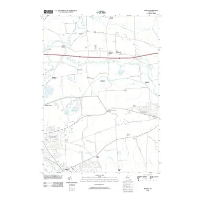
2010 Map of Manlius
USGS Topo · Published 2010About this map
Chittenango Creek and Limestone Creek wind through this central New York landscape, defining the topography between the prominent Peck Hill and the northern reaches of Cicero Swamp. The 2010 map shows a mix of established village centers like Fayetteville and Manlius, and smaller historically distinct clusters such as Fyler Settlement and Saintsville. Genealogists will find a high density of burial sites throughout the region, ranging from the large Manlius Village Cemetery to smaller family and historic sites like the Anguish Family Cemetery and the Dry Hill Burial Ground.
Find a feature on this map
86 named features on this map. Tap any name to fly to it.
Don’t see what you’re looking for? This feature index may not catch every label — zoom into the map to look around manually.
Map Details
Editions of this 2010 Manlius Map
This is the sole edition of this map. No revisions or reprints were ever made.
Other maps of this area

1895 · Chittenango
USGS Topo · 1:62,500

1895 · Syracuse
USGS Topo · 1:62,500

1897 · Cazenovia
USGS Topo · 1:62,500

1898 · Syracuse
USGS Topo · 1:62,500

1898 · Chittenango
USGS Topo · 1:62,500

1899 · Cazenovia
USGS Topo · 1:62,500

1900 · Tully
USGS Topo · 1:62,500

1902 · Chittenango
USGS Topo · 1:62,500

1938 · Syracuse East
USGS Topo · 1:24,000

1940 · Cicero
USGS Topo · 1:24,000