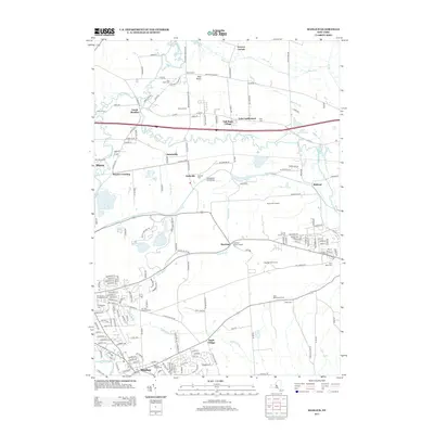
2013 Map of Manlius
USGS Topo · Published 2013About this map
Manlius and its surrounding hamlets are defined by the winding paths of Limestone Cr, Chittenango Cr, and Pools Brook as they navigate the glacial landscape of central New York. This early 21st-century record reveals a deep layers of local history, preserved in numerous family and community sites such as the Anguish Family Cem and the Mycenae Burial Ground. The map highlights the agricultural legacy of the region through landmarks like Gates Homestead Farms and the Wilcox Farms, while also showing the residential expansion at Tall Pines Village. Geologists and local historians will find the proximity of Round Lake and Green Lake notable, as these water bodies are situated near a cluster of early settlements including Saintsville, Kirkville, and the transit point at Snyder Crossing.
Find a feature on this map
183 named features on this map. Tap any name to fly to it.
Don’t see what you’re looking for? This feature index may not catch every label — zoom into the map to look around manually.
Map Details
Editions of this 2013 Manlius Map
This is the sole edition of this map. No revisions or reprints were ever made.
Other maps of this area

1895 · Chittenango
USGS Topo · 1:62,500

1895 · Syracuse
USGS Topo · 1:62,500

1897 · Cazenovia
USGS Topo · 1:62,500

1898 · Syracuse
USGS Topo · 1:62,500

1898 · Chittenango
USGS Topo · 1:62,500

1899 · Cazenovia
USGS Topo · 1:62,500

1900 · Tully
USGS Topo · 1:62,500

1902 · Chittenango
USGS Topo · 1:62,500

1938 · Syracuse East
USGS Topo · 1:24,000

1940 · Cicero
USGS Topo · 1:24,000