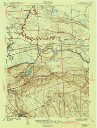
1943 Map of Manlius
USGS Topo · Published 1943About this map
The Old Erie Canal and the modern Barge Canal parallel one another across this landscape, illustrating the evolution of New York's inland waterways. Just south of the canals, the glacial geology of Green Lakes State Park is documented in detail, featuring the deep basins of Green Lake and Round Lake. The industrial and transport character of the 1940s is evident in the dense network of the New York Central and Hudson River Railroad and the presence of Bennett Airport near Kirkville.
Find a feature on this map
59 named features on this map. Tap any name to fly to it.
Don’t see what you’re looking for? This feature index may not catch every label — zoom into the map to look around manually.
Map Details
Editions of this 1943 Manlius Map
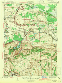
2 editions found
Other maps of this area

1895 · Chittenango
USGS Topo · 1:62,500

1895 · Syracuse
USGS Topo · 1:62,500

1897 · Cazenovia
USGS Topo · 1:62,500

1898 · Syracuse
USGS Topo · 1:62,500

1898 · Chittenango
USGS Topo · 1:62,500

1899 · Cazenovia
USGS Topo · 1:62,500

1900 · Tully
USGS Topo · 1:62,500

1902 · Chittenango
USGS Topo · 1:62,500

1938 · Syracuse East
USGS Topo · 1:24,000

1940 · Cicero
USGS Topo · 1:24,000