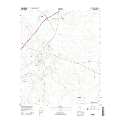
2014 Map of Manning
USGS Topo · Published 2014About this map
Manning serves as the focal point of this South Carolina landscape, where the street grid of the county seat transitions into a network of outlying agricultural and swamp communities. The terrain is defined by the slow-moving waters of the Pocotaligo River and the expansive Ox Swamp, which separate the central settlement from smaller hubs like Alcolu to the north and Bloomville to the south. Transportation routes including Us-301 and Us-521 intersect here, reflecting the area's role as a regional crossroads.
Find a feature on this map
95 named features on this map. Tap any name to fly to it.
Don’t see what you’re looking for? This feature index may not catch every label — zoom into the map to look around manually.
Map Details
Editions of this 2014 Manning Map
This is the sole edition of this map. No revisions or reprints were ever made.
Other maps of this area

1920 · Mayesville
USGS Topo · 1:48,000

1920 · Manning
USGS Topo · 1:48,000

1921 · Manning
USGS Topo · 1:62,500

1921 · Mayesville
USGS Topo · 1:62,500

1943 · Mayesville
USGS Topo · 1:62,500

1944 · Manning
USGS Topo · 1:62,500

1946 · Sumter
USGS Topo · 1:62,500

1954 · Augusta
USGS Topo · 1:250,000

1957 · Sumter
USGS Topo · 1:62,500

1957 · Augusta
USGS Topo · 1:250,000