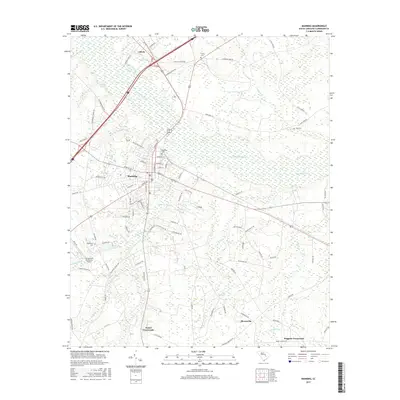
2017 Map of Manning
USGS Topo · Published 2017About this map
Manning serves as the central hub of this Clarendon County landscape, where the street grid of the county seat transitions into a network of outlying agricultural crossroads and wetlands. The surrounding area is defined by the winding course of the Pocotaligo River and the expansive Big Bay to the north, creating a terrain dominated by low-lying water features such as Fox Swamp, Gum Pond, and Harvin Pond. Small settlements like Alcolu, Bloomville, and James Crossroads anchor the rural landscape, connected by thoroughfares such as Old Georgetown Rd and Bloomville Rd. Local history is preserved in several burial grounds including Manning Cem and Trinity Cem, while the Palmetto Air Plantation Airport provides a distinct landmark to the west of the city. The map reveals how the modern transportation corridors of Interstate 95 and US Highway 301 bisect the older plantation-era geography and natural drainage basins of the South Carolina coastal plain.
Find a feature on this map
89 named features on this map. Tap any name to fly to it.
Don’t see what you’re looking for? This feature index may not catch every label — zoom into the map to look around manually.
Map Details
Editions of this 2017 Manning Map
This is the sole edition of this map. No revisions or reprints were ever made.
Other maps of this area

1920 · Mayesville
USGS Topo · 1:48,000

1920 · Manning
USGS Topo · 1:48,000

1921 · Manning
USGS Topo · 1:62,500

1921 · Mayesville
USGS Topo · 1:62,500

1943 · Mayesville
USGS Topo · 1:62,500

1944 · Manning
USGS Topo · 1:62,500

1946 · Sumter
USGS Topo · 1:62,500

1954 · Augusta
USGS Topo · 1:250,000

1957 · Sumter
USGS Topo · 1:62,500

1957 · Augusta
USGS Topo · 1:250,000