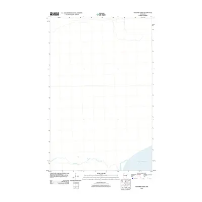
2010 Map of Manomin Creek
USGS Topo · Published 2010About this map
Upper Red Lake dominates the southeast corner of this northern Minnesota landscape, marking a prominent boundary between the vast waters and the low-lying wetland terrain of Beltrami County. The drainage patterns are defined by the winding course of Manomin Creek, which meanders across the southern portion of the quadrangle before eventually meeting the lake. This 2010 survey by the U.S. Geological Survey illustrates a largely undeveloped wilderness area, where the hydrological system of creeks and lake shoreline remains the primary geographical focus. For researchers and environmental historians, the map provides a precise record of the shoreline and water levels at the start of the decade, capturing the natural state of this remote northern region.
Find a feature on this map
2 named features on this map. Tap any name to fly to it.
Don’t see what you’re looking for? This feature index may not catch every label — zoom into the map to look around manually.
Map Details
Editions of this 2010 Manomin Creek Map
This is the sole edition of this map. No revisions or reprints were ever made.
Other maps of this area

1918 · F
USGS Topo · 1:62,500

1919 · G
USGS Topo · 1:62,500

1919 · Ponemah
USGS Topo · 1:62,500

1943 · Ponemah
USGS Topo · 1:62,500

1954 · Roseau
USGS Topo · 1:250,000

1957 · Roseau
USGS Topo · 1:250,000

1958 · Roseau
USGS Topo · 1:250,000

1973 · Manomin Creek SE
USGS Topo · 1:24,000

1973 · Mosquito Creek
USGS Topo · 1:24,000

1973 · Manomin Creek
USGS Topo · 1:24,000