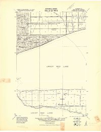
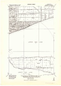
1919 Map of Ponemah
USGS Topo · Published 1919About this map
Upper Red Lake and Lower Red Lake dominate this landscape, connected by the critical passage known as The Narrows. Compiled by the Corps of Engineers just after the Great War, the map reveals an extensive drainage network designed to reclaim swampy terrain for use. Notations identify large timbered tracts and specify where former wetlands were being transformed by works such as Jud. Ditch No. 37 and Main Ditch.
Find a feature on this map
22 named features on this map. Tap any name to fly to it.
Don’t see what you’re looking for? This feature index may not catch every label — zoom into the map to look around manually.
Map Details
Editions of this 1919 Ponemah Map
This is the sole edition of this map. No revisions or reprints were ever made.
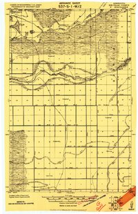
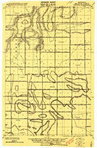
Other maps of this area

1918 · F
USGS Topo · 1:62,500
1919 · G
USGS Topo · 1:62,500

1919 · Fox
USGS Topo · 1:62,500

1919 · Quiring
USGS Topo · 1:62,500
1919 · Knutson
USGS Topo · 1:62,500
1943 · Ponemah
USGS Topo · 1:62,500

1954 · Bemidji
USGS Topo · 1:250,000

1954 · Roseau
USGS Topo · 1:250,000

1957 · Roseau
USGS Topo · 1:250,000

1957 · Bemidji
USGS Topo · 1:250,000