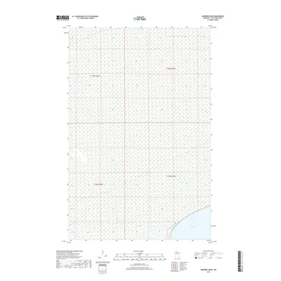
2019 Map of Manomin Creek
USGS Topo · Published 2019About this map
Upper Red Lake defines the southern reach of this northern Minnesota landscape, where the vast wetlands of Beltrami County meet the water's edge. The terrain is characterized by a dense network of marsh and bog, interrupted only by the winding course of Manomin Cr. This 2019 survey documents a region largely shaped by its natural hydrology, showing the intricate relationship between the lake and the small tributaries that feed it. The absence of developed roads or settlements in this specific section highlights the preservation of this remote wetland environment within the Public Land Survey System grids of t155n r35w, t155n r34w, t154n r35w, and t154n r34w. It is a portrait of a landscape defined by water and silence, where the land and lake merge into a single, complex ecosystem.
Find a feature on this map
6 named features on this map. Tap any name to fly to it.
Don’t see what you’re looking for? This feature index may not catch every label — zoom into the map to look around manually.
Map Details
Editions of this 2019 Manomin Creek Map
This is the sole edition of this map. No revisions or reprints were ever made.
Other maps of this area

1918 · F
USGS Topo · 1:62,500

1919 · G
USGS Topo · 1:62,500

1919 · Ponemah
USGS Topo · 1:62,500

1943 · Ponemah
USGS Topo · 1:62,500

1954 · Roseau
USGS Topo · 1:250,000

1957 · Roseau
USGS Topo · 1:250,000

1958 · Roseau
USGS Topo · 1:250,000

1973 · Manomin Creek SE
USGS Topo · 1:24,000

1973 · Mosquito Creek
USGS Topo · 1:24,000

1973 · Manomin Creek
USGS Topo · 1:24,000