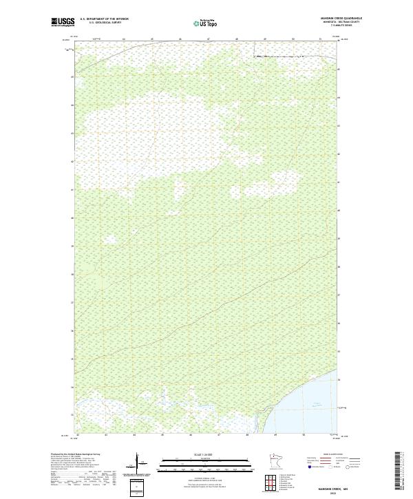
2022 Map of Manomin Creek
USGS Topo · Published 2022About this map
Upper Red Lake defines the southeastern corner of this northern Minnesota landscape, where the shoreline meets an extensive network of wetlands and low-lying terrain. The area is characterized by the meandering path of Manomin Creek, which flows through the southern portion of the quadrangle toward the lake. This 2022 survey illustrates a largely undeveloped wilderness within Beltrami County, mapped with five-foot contour intervals that reveal the subtle elevations of this hydrologically complex region. Surveyed boundaries for townships including t155n r34w and t154n r35w partition the territory into a grid that overlays the natural drainage patterns of Manomin Cr and its surrounding marshes.
Find a feature on this map
7 named features on this map. Tap any name to fly to it.
Don’t see what you’re looking for? This feature index may not catch every label — zoom into the map to look around manually.
Map Details
Editions of this 2022 Manomin Creek Map
This is the sole edition of this map. No revisions or reprints were ever made.
Other maps of this area

1918 · F
USGS Topo · 1:62,500

1919 · G
USGS Topo · 1:62,500

1919 · Ponemah
USGS Topo · 1:62,500

1943 · Ponemah
USGS Topo · 1:62,500

1954 · Roseau
USGS Topo · 1:250,000

1957 · Roseau
USGS Topo · 1:250,000

1958 · Roseau
USGS Topo · 1:250,000

1973 · Manomin Creek SE
USGS Topo · 1:24,000

1973 · Mosquito Creek
USGS Topo · 1:24,000

1973 · Manomin Creek
USGS Topo · 1:24,000