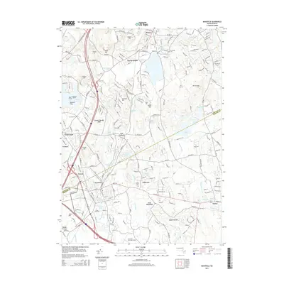
2015 Map of Mansfield
USGS Topo · Published 2015About this map
The Canoe River and Rumford River systems define the industrial and residential corridors of this Norfolk County landscape. In the southern portion of the sheet, the town of Mansfield serves as a significant junction point near Fulton Pond and Kingman Pond, where the local economy historically developed around these water resources. Smaller settlements like Whiteville and East Mansfield are situated along these waterways, while the presence of Glue Factory Pond hints at the area's manufacturing heritage.
Find a feature on this map
238 named features on this map. Tap any name to fly to it.
Don’t see what you’re looking for? This feature index may not catch every label — zoom into the map to look around manually.
Map Details
Editions of this 2015 Mansfield Map
This is the sole edition of this map. No revisions or reprints were ever made.
Other maps of this area

1885 · Taunton
USGS Topo · 1:62,500

1886 · Dedham
USGS Topo · 1:62,500

1887 · Franklin
USGS Topo · 1:62,500

1887 · Providence
USGS Topo · 1:62,500

1888 · Taunton
USGS Topo · 1:62,500

1889 · Providence
USGS Topo · 1:62,500

1889 · Franklin
USGS Topo · 1:62,500

1893 · Taunton
USGS Topo · 1:62,500

1893 · Franklin
USGS Topo · 1:62,500

1894 · Dedham
USGS Topo · 1:62,500