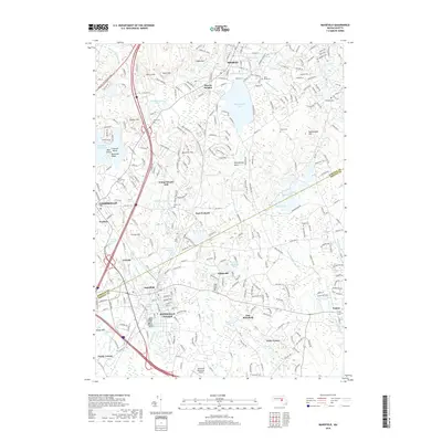
2018 Map of Mansfield
USGS Topo · Published 2018About this map
Mansfield and Sharon anchor this detailed study of the Bristol and Norfolk County borderlands during a period of sustained suburban character. The landscape is defined by its complex hydrology, featuring the expansive Massapoag Lake and smaller industrial remnants like Hammer Shop Pond and Glue Factory Pond. These water bodies, along with the Canoe River and Rumford River, influenced the early development of village centers at Whiteville, East Foxboro, and Sharon Heights.
Find a feature on this map
257 named features on this map. Tap any name to fly to it.
Don’t see what you’re looking for? This feature index may not catch every label — zoom into the map to look around manually.
Map Details
Editions of this 2018 Mansfield Map
This is the sole edition of this map. No revisions or reprints were ever made.
Other maps of this area

1885 · Taunton
USGS Topo · 1:62,500

1886 · Dedham
USGS Topo · 1:62,500

1887 · Franklin
USGS Topo · 1:62,500

1887 · Providence
USGS Topo · 1:62,500

1888 · Taunton
USGS Topo · 1:62,500

1889 · Providence
USGS Topo · 1:62,500

1889 · Franklin
USGS Topo · 1:62,500

1893 · Taunton
USGS Topo · 1:62,500

1893 · Franklin
USGS Topo · 1:62,500

1894 · Dedham
USGS Topo · 1:62,500