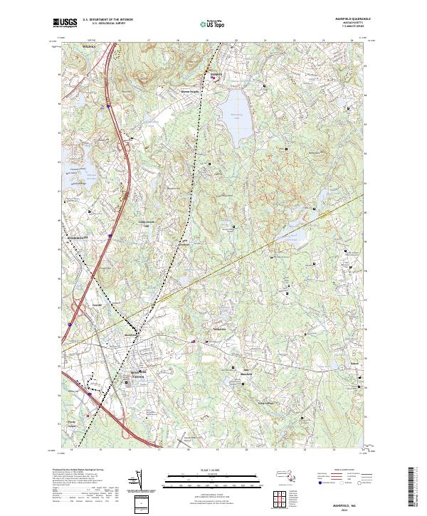
2024 Map of Mansfield
USGS Topo · Published 2024About this map
Mansfield Center serves as a primary hub within this modern topographic study of southeastern Massachusetts, where the industrial and transport legacy of the region remains clearly visible. The landscape is defined by the headwaters and tributaries of the Canoe River and Rumford River, which once powered local industry at sites like Glue Factory Pond and Whiteville Pond. Evidence of early settlement is exceptionally dense, preserved through numerous family burial sites and historical graveyards such as the Captain Jedidiah Willis Graveyard and the Ephraim Leonard Family Burial Ground. Transport infrastructure dominates the western corridor, where the Mbta and Amtrak lines parallel the Boston-Providence Tpke, illustrating the area's continued role as a vital transit link between major urban centers. To the north, Massapoag Lake and Sharon Heights provide a contrasting focus on the glacial terrain and residential development typical of the Norfolk County uplands.
Find a feature on this map
77 named features on this map. Tap any name to fly to it.
Don’t see what you’re looking for? This feature index may not catch every label — zoom into the map to look around manually.
Map Details
Editions of this 2024 Mansfield Map
This is the sole edition of this map. No revisions or reprints were ever made.
Other maps of this area

1885 · Taunton
USGS Topo · 1:62,500

1886 · Dedham
USGS Topo · 1:62,500

1887 · Franklin
USGS Topo · 1:62,500

1887 · Providence
USGS Topo · 1:62,500

1888 · Taunton
USGS Topo · 1:62,500

1889 · Providence
USGS Topo · 1:62,500

1889 · Franklin
USGS Topo · 1:62,500

1893 · Taunton
USGS Topo · 1:62,500

1893 · Franklin
USGS Topo · 1:62,500

1894 · Dedham
USGS Topo · 1:62,500